
Xinjiang Travel Routes: National Day Travel Itinerary Guide
Xinjiang Tourism Consultation: (Same) 0991-8585456
Go to Xinjiang
Require special courage to endure
The magnificent deserts and the primitive Gobi Deserts
The tenderness of meadows and the deadliness of glaciers
The openness of canyons and the entanglement of forests
The sternness of glaciers and the civilizations left behind on the wilderness
10 Best Routes to Xinjiang in the Second Half of the Year
Northern and Southern Xinjiang Loop Route
▌ Itinerary Overview
The route first circles the Junggar Basin, then enters the塞外江南 (the land beyond the Great Wall, south of the deserts, in Xinjiang) – Yili Valley, reaching the Bayinbuluke Grassland in the hinterland of the Tianshan Mountains. It crosses the Daban Pass, goes through the Gobi Desert, steps into the Turpan Basin with rich folk customs, and finally returns to Urumqi, spanning 11 days in total. The journey covers nearly 4,000 kilometers, passing through the Gobi Desert (General Gobi), crossing the desert (Gurbantunggut Desert), climbing the snow-capped mountains (Tianshan Mountains), and riding horses freely across the grasslands (Nalati and Bayinbuluke Grasslands).
Northern Xinjiang, Junggar Basin, Ili Valley, Tianshan Mountains, Altai Mountains, these areas are full of legendary colors yet little known to people. For thousands of years, Saka people, Dayuezhi people, Wusun people, and Mongolians have written the long song of history with their iron-clad horses and gleaming swords.
Today, as I set foot on this homeland again, I see simple Kazakh young men waving long whips to herd cattle and sheep. Snow-white yurts are sending up plumes of smoke in the distance. Diligent Kazakh women are burning fragrant milk tea to welcome the return of love. The god’s backyard, Kanas, Bahaba, and Hemo are welcoming guests from all directions with an idyllic paradise like Eastern Switzerland.
Urumqi – Tianchi – Wucaicheng – Jiadenyu – Kanas – Hemo – Urho – Sayram Lake – Yining – Nalati – Bayanbulak – Hejing – Shanshan – Urumqi
D1 Urumqi – Tianchi – Wucaicheng (300 km)
D2 Wucaicheng – Burqin (590 km)
D3 Burqin – Jiadenyu – Kanas (180 km)
D4 Kanas – Hemo (100 km)
D5 Hemo – Urho (400 km)
D6 Urho – Sayram Lake (550 km)
D7 Sayram Lake – Yining – Nalati (390 km)
D8 Nalati – Bayanbulak (160 km)
D9 Bayanbulak – Hejing (450 km)
D10 Hejing – Shanshan Kumtag Desert (350 km)
D11 Shanshan – Urumqi (350 km)
With a wave of time, the sea turned into a desert. The once melodious songs of fishermen at dusk only left a few river traces; yesterday’s lush pastures with cattle and sheep are now vast stretches of sand. Heroes once won over beauties and rode away, leaving piles of gold coins and jade pendants behind. Thus, the lonely wisp of smoke at sunset disappeared.
Urumqi – Da Haidao – Ancient River Course – White Dragon Dunes – Lop Nur Town – Colored Pebble Beach – Ancient Milan City – Qiemo – Yatonggusi Ancient City – Andier Township – Yatonggusi Ancient City – Taklamakan Desert – Huyang Forest in Luntai – Korla – Urumqi
D1 Urumqi – Dahaiti
D2 Dahaiti – Ancient Riverbed
D3 Ancient Riverbed – White Dragon Heap – Lop Nur Town
D4 Lop Nur Town – Colorful Stone Beach – Milan Ancient City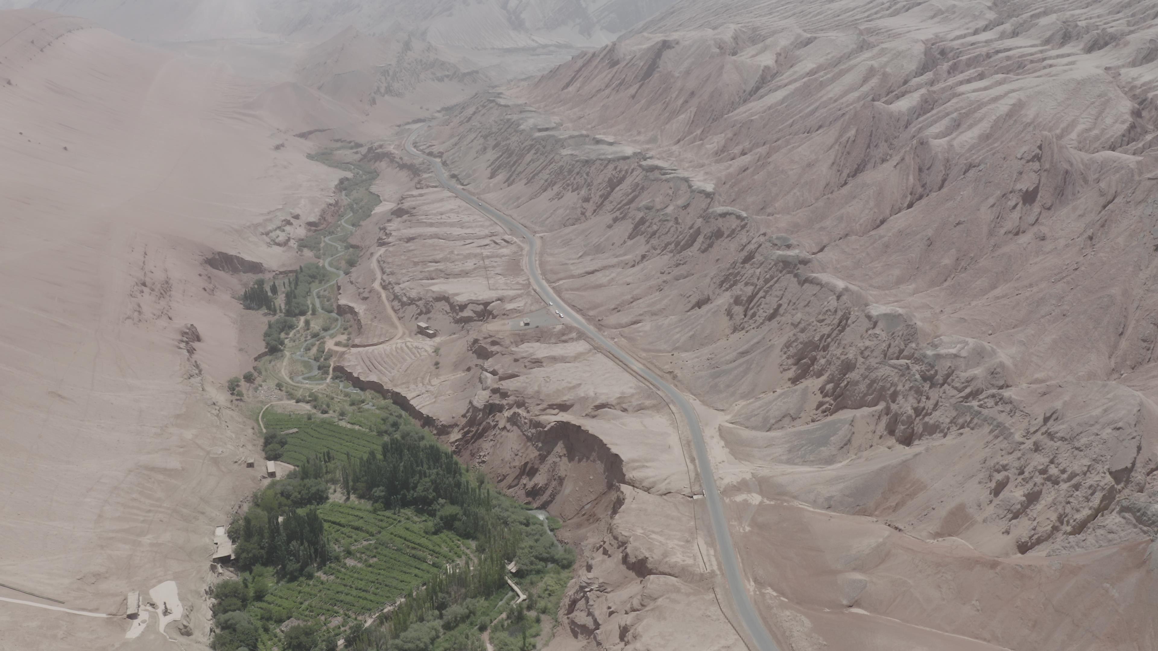

D5 Milan Ancient City – Qiemu – Yatonggusi Ancient City
D6 Andier Town – Yatonggusi Ancient City – Taklamakan Desert
D7 Taklamakan Desert – Huyanglin Forest in Luntai – Korla
D8 Korla – Urumqi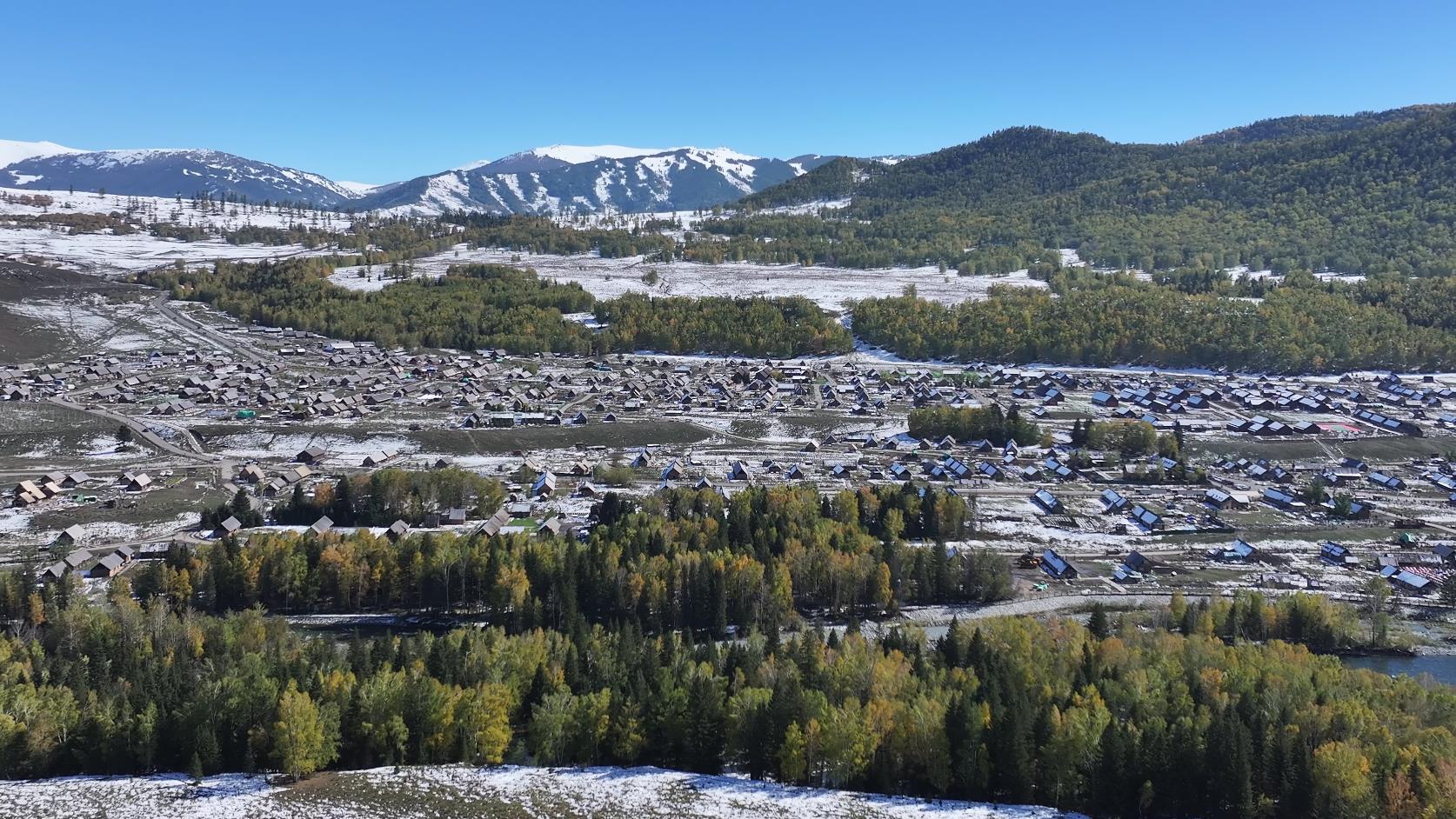
Kanas East-West Grand Loop
▌ Itinerary Overview
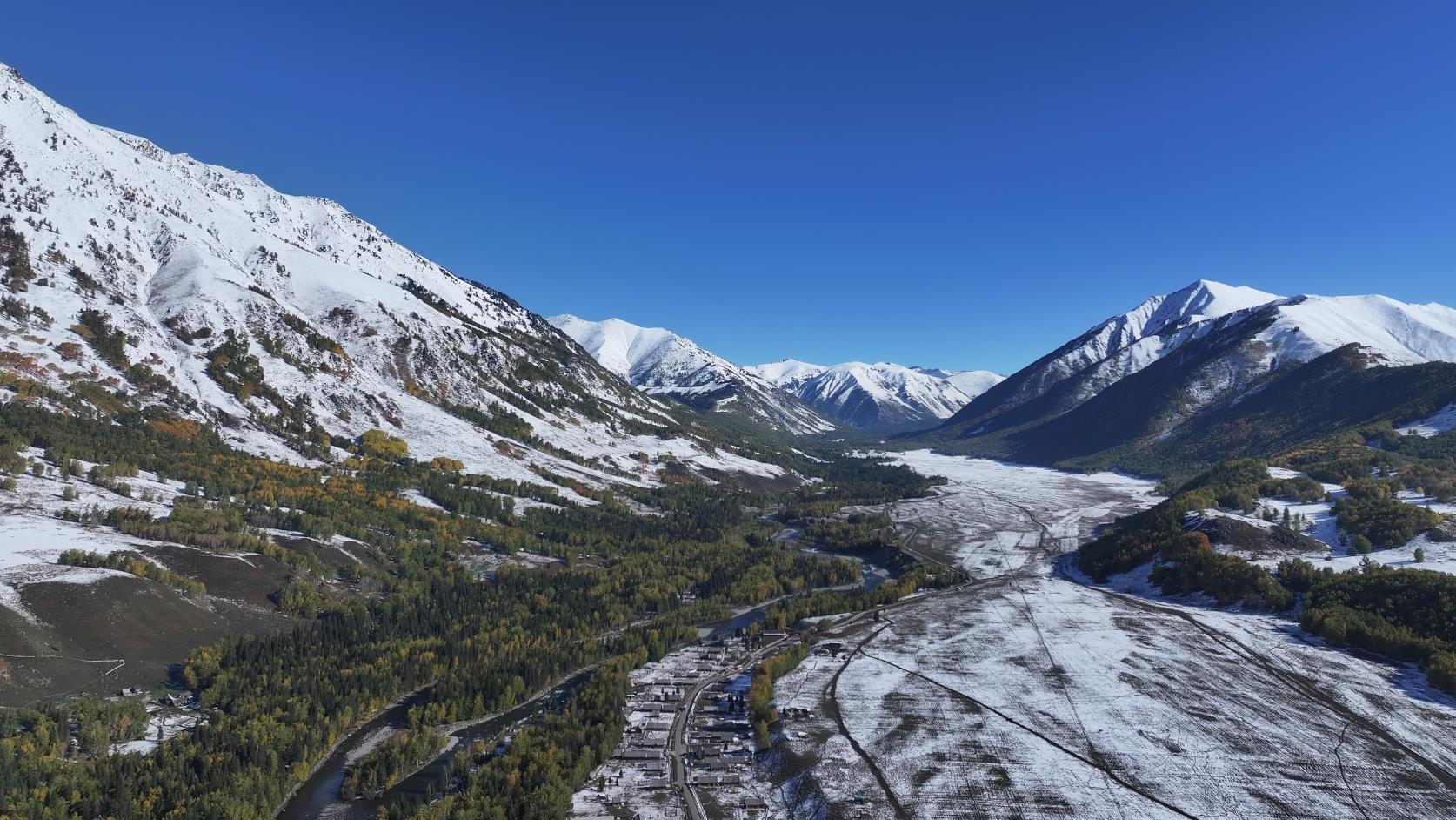
Kanas is located in the middle section of the Altay Mountains in northern Xinjiang, situated in the golden zone bordering Kazakhstan, Russia, and Mongolia. Its natural ecological and cultural landscapes have maintained their primitive appearance and are known as the ‘Pure Land of Earth’. Among them, Kanas Lake is hailed as ‘the most beautiful lake in the world’.
The four seasons transform into a landscape of five colors, a silent and peaceful ancient village. Ride a horse along the ancient horse trail, gallop across the grassland, and listen to the wind roaring in your ears; amidst the mountains, see snow-capped peaks surrounding, flowers blooming everywhere, and eagles soaring overhead; walk amidst the flowers, seeking out that uninhabited secret realm; pitch camp under a sky full of stars, light a bonfire, and sing those ancient ballads; when you gaze up at the tranquil starry sky, the mundane world is far away on the other side of the globe.
▌ Brief Itinerary Overview
Urumqi – Habahe County – Baihaba Village – Naren Ranch – Shuanghu Lake – Tielisahan Ranch – Kanas – Xiaoheihu Lake – Hemu – Burqin – Beitun – Urumqi
D1 Urumqi – Habahe County (Sleeper Bus)
D2 Habahe County – Baihaba Village (Wooden Hut, Car)
D3 Baihaba Village – Naren Ranch (Camping, Light Pack Hiking)
D4 Naren Ranch – Shuanghu Lake (Camping, Light Pack Hiking)
D5 Shuanghu Lake – Tielisahan Ranch (Camping, Light Pack Hiking)
D6 Tielisahan Ranch – Kanas (Wooden Hut, Light Pack Hiking)
D7 Kanas (Wooden Hut, Light Pack Hiking)
D8 Kanas – Xiaoheihu Lake (Camping)
D9 Xiaoheihu Lake – Hemu (Wooden Hut, Light Pack Hiking, Public Bath)
D10 Hemu (Wooden Hut, Public Bath)
D11 Hemu – Burqin – Beitun (Car)
D12 Beitun – Urumqi (Train or sleeper bus)
Xinjiang Tourism Consultation: (Same) 0991-8585456