
On the first day, we departed from Urumqi and passed by Bosten Lake, an inland freshwater lake in China.
Bosten Lake (English: Bosten Lake), an inland freshwater lake in China, is also known as Bakalachi Sea. In Mongolian, it is called Bosten’er, and in Uyghur, it is called Baglashkule. In ancient times, it was called the Western Sea. The "near sea" mentioned in "The Western Regions in the Book of Han" – "The king of Yanqi went to Yuanchu City, which is 100 li south of Yuli, and there is plenty of fish near the sea" – and "Dunhongpu" in "Commentary on Waterways" both refer to this lake.
Bosten Lake is located in the southern slope of the Tianshan Mountains, southeast of the Yanqi Basin in Bayingolin Mongolian Autonomous Prefecture, Xinjiang Uyghur Autonomous Region, 14 kilometers east of Bohu County. It is a collapsed lake between mountains, with the Kaitun River as its main water source and also the source of the Kongque River. Nowadays, Bosten Lake can be divided into two parts: the large lake area and the small lake area. The large lake covers nearly 1,000 square kilometers, while the small lake covers only about 100 square kilometers. The "Book of Sui" records that this lake has "benefits from fish, salt, reeds, and cattails". Reeds grow abundantly around the lake area, making it an important production base for reeds in China. Additionally, Bosten Lake is rich in various freshwater fish and is a fishery production base in Xinjiang. The natural scenery of Bosten Lake is beautiful, and it was named a national key scenic spot in 2002. It belongs to the category of natural scenic spots featuring natural lakes and waterscapes. Bosten Lake is 55 kilometers long from east to west and 25 kilometers wide from north to south, with a total area of 1,228 square kilometers and a lake surface elevation of 1,048 meters, averaging 9 meters in depth.
On the second day, we traveled west from Korla to Kuqa to visit Kuqa Grand Canyon.
The Mysterious Grand Canyon of Tianshan is located 64 kilometers north of Kuqa County (formerly known as Qiuci) in Xinjiang, at 42°8′ north latitude and 83°5′ east longitude. The Mysterious Grand Canyon of Tianshan, surrounded by mountains in the southern foothills of Tianshan, combines the wonders of earthly canyons with the scenic beauty of Tianshan, embodying the essence of ancient times and integrating the elements of mystery, uniqueness, danger, grandeur, antiquity, and tranquility. Its scenic beauty and unique features are fascinating. Since its discovery in 1999, it has been developed while simultaneously welcoming tourists, with the number of visitors increasing daily. In January 2002, it was upgraded to a national AA-level tourist scenic spot. It has become a dazzling pearl on the Golden Tourist Route of the Ancient Silk Road.
On the third day, after visiting Kizil Thousand Buddha Caves in Kuqa, we stayed at Aksu. The Thousand Buddha Caves are located on the river terrace 7 kilometers southeast of Kizil Town, Baicheng County. They are backed by Mingwudage Mountain and face Muzhati River and Queerdage Mountain to the south, with Weigan-Kizil River winding through. It is about 69 kilometers east of Kuqa County. With shady trees and an elegant environment, it is a famous tourist attraction for ancient cultural relics in Xinjiang. Kizil is the transliteration of Uyghur, meaning "red"[1]. The Kizil Grottoes and the Mogao Grottoes in Dunhuang share the reputation of being among China’s "Four Great Grottoes", located on cliffs and stretching for thousands of kilometers. Among them, more than 80 caves preserve murals, with a total mural area of about 10,000 square meters.
Day 4: Travel from Aksu to the Tomur Peak Grand Canyon in Wensu County.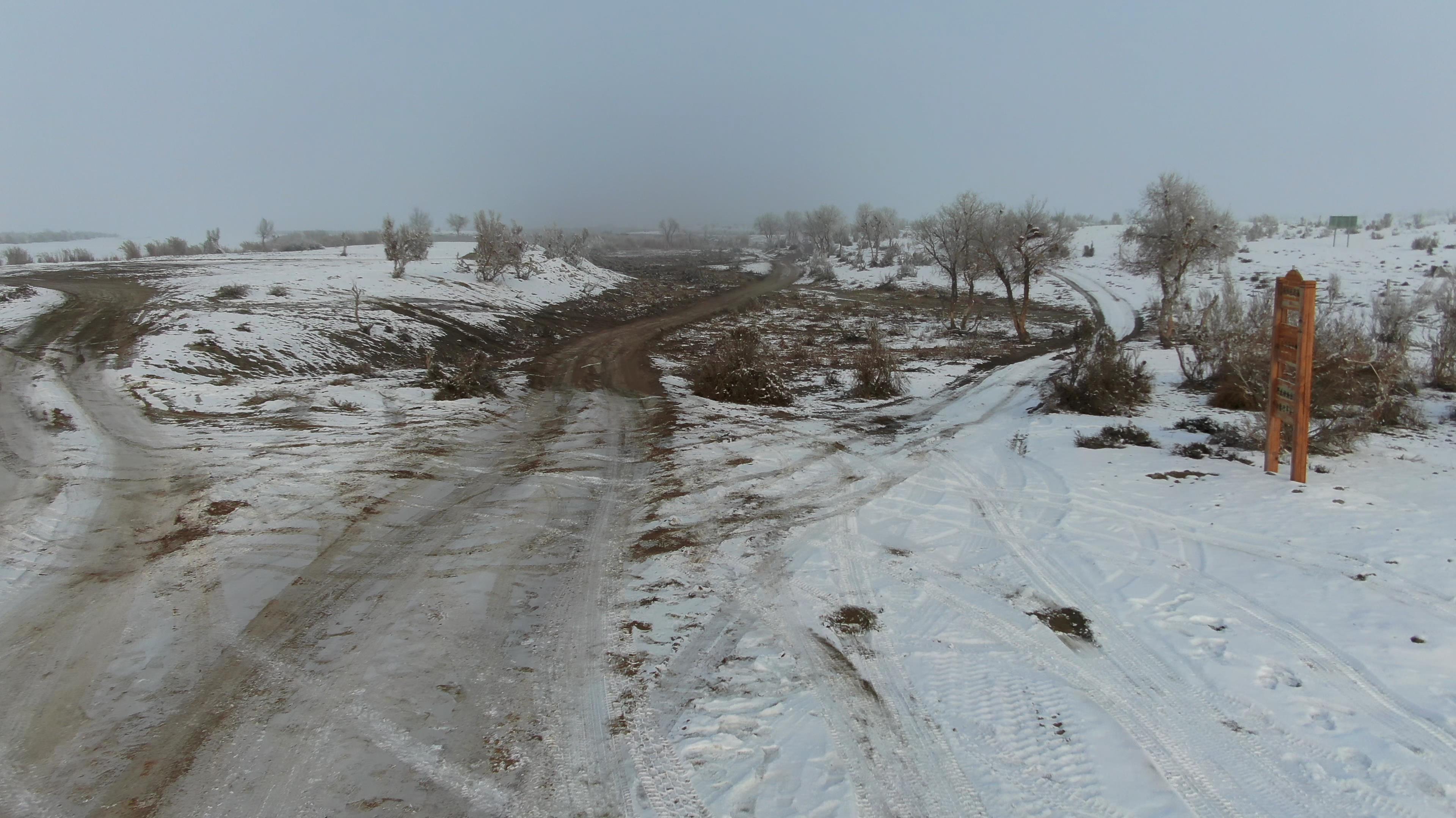

In Aksu City, Wensu County, at the southern foot of Mount Tianshan in Xinjiang, there is a mysterious grand canyon – the Tomur Peak Magical Grand Canyon (locally known as "Kuduluk Grand Canyon"). The canyon is about 20 kilometers wide from north to south and about 25 kilometers long from east to west. The mountain body is mainly composed of red sandstone and shale, forming famous Yardang landforms. It is magical, steep, ancient, and serene, showcasing awe-inspiring natural wonders.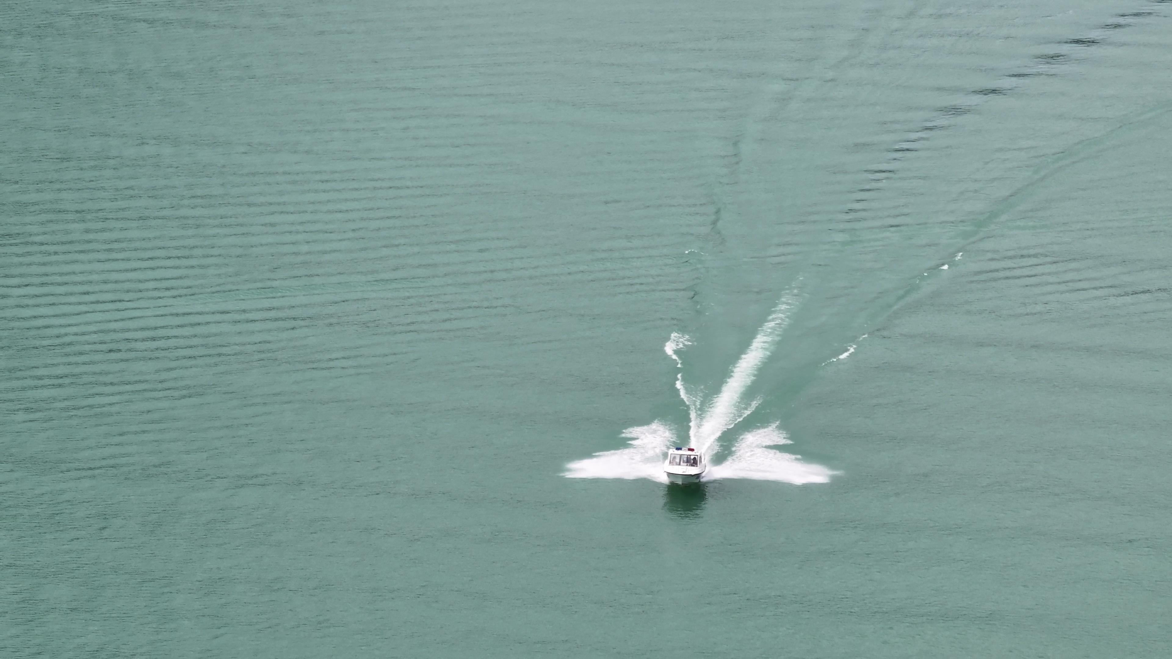
Day 5: Travel from Aksu to Kashgar
Day 6: Travel from Kashgar to Tashkurgan County, with stops to visit Baisha Lake and Karakul Lake, then stay overnight in Tashkurgan County
Karakul Lake is located at the foot of Mount Muztagh Ata, the Father of Ices, 191 kilometers from Kashgar. The China-Pakistan Highway passes by the lakeside. It is not far from here to the base camp for climbing Mount Muztagh Ata (a 5-hour walk or camel ride). "Karakul" means "black sea"; it is an alpine glacial lake. The majestic and mysterious Mount Muztagh Ata is reflected on the water surface, with snow-capped peaks blending with the water, creating a fascinating scenery.
Day 7: Visit the Golden Grass Beach and Stone City in Tashkurgan County, then return to Kashgar
Stone City, located tens of meters north of Tashkurgan County Town, is believed to be a relic from the Tang Dynasty. Coins from the Tang Dynasty and documents from Hotan have been unearthed here. The geographical location of Stone City is superior: there is a grassland below the city, and several more grasslands around it. In ancient times, several mountain paths from Kashgar, Yingjisha, Yecheng, and Shache converged here, leading to the Pamir Plateau. Several major mountains on the way west to Central Asia, such as Khunjerab Pass, Mingtiegai Pass, and Wakhiri Pass, can also be reached through natural valleys from here. This city was a strategically important fortress on the ancient "Silk Road" and has been designated as a key cultural relic protection unit by the autonomous region. Although only ruins remain of Stone City
Day 8: Visit Kashgar city. There is a national-style city-opening ceremony at 10:30 am at Kashgar Old Town. If you miss it, you won’t be able to see it.
Day 9: It takes a day to travel from Kashgar to Hotan. On the way, you can visit the Zero Kilometer Marker of the Xinjiang-Tibet Highway in Yecheng for a photo opportunity.
Day 10: Head from Hotan to visit the Walnut King and the Fig King, then proceed to Minfeng County to stay overnight.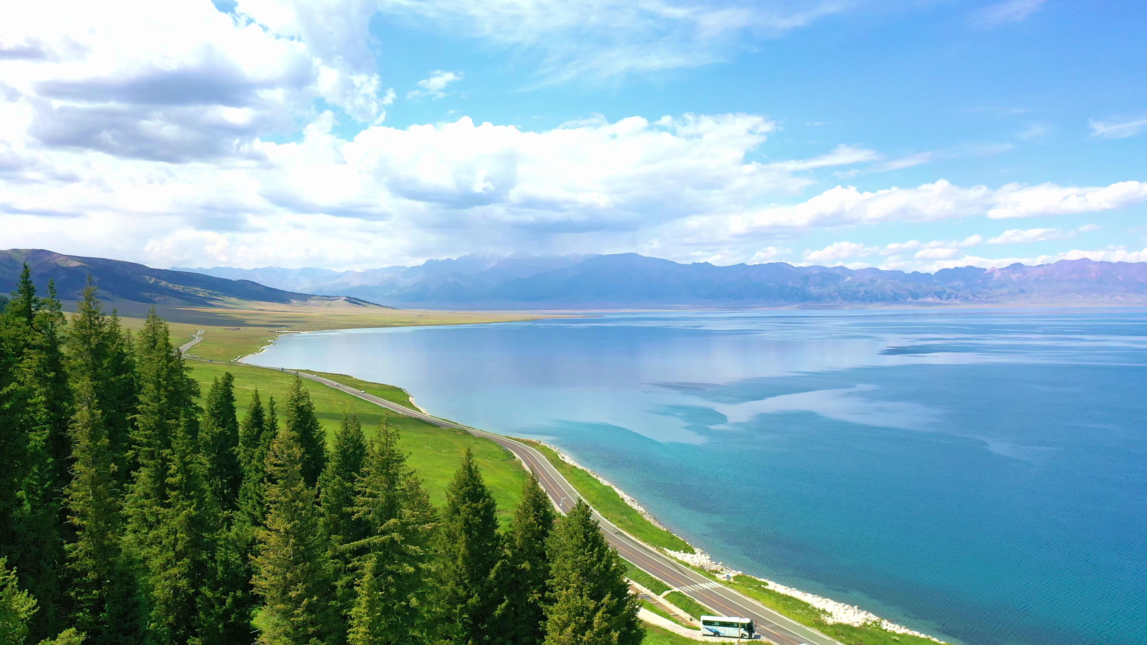
Day 11: Visit the desert highway from Minfeng, then visit the Populus euphratica forest and arrive at Luntai County to check in at the hotel.
Day 12: Return from Luntai to Urumqi. The whole journey is on the expressway.
Xinjiang Tourism Consultation: (Same) 0991-8585456