
Recommended Travel Routes in Southern Xinjiang – Customized Tours of Southern Xinjiang
Consultation number for traveling in Southern Xinjiang: 0991-8585456 181-39622229
Southern Xinjiang refers to the southern region of Xinjiang, including the Tarim Basin, the Xinjiang section of the Kunlun Mountains, and the Turpan Basin. Korla, Kuqa, Aksu, Atush, Kashgar, Hotan, Qiemo, and Ruoqiang are like shining pearls stringing Southern Xinjiang into a beautiful necklace. Historically, this was a bustling place on the Silk Road – after leaving Dunhuang to the west, the Silk Road divided into three branches, with two of them passing through here. Wusun, Qiuci, Yanqi, Ruoqiang, Loulan, Qiemo… The names of the Thirty-Six Western Regions still echo in the sky of history, but today, one can only recall the prosperity of the past through残缺 murals on walls, piles of earth mounds, and patches of dead wood amidst the boundless yellow sand. This region is vast and has a harsh climate, with oases providing shelter for people.
The best travel time is from June to October, which is a great season to visit Southern Xinjiang. At this time, Southern Xinjiang is charming with clear autumn skies and the fragrance of melons and fruits. Southern Xinjiang has a continental climate, and there are many deserts. The diurnal temperature variation is large, and the climate is dry. At this time, Southern Xinjiang is free from spring sandstorms, summer heat, and winter cold. In addition, from March to April every year in Hotan, peach blossoms and apricot blossoms bloom in competition. If you want to see the fertile pastures of Bayinbrook and the elegant swans, you need to go there in June.
D1: Kashgar → 【China-Pakistan Friendship Highway on National Highway 314 – White Sand Mountain, Flowing Sand River – Karakul Lake (View of Mount Muztagh Ata from afar)】 → Taxkorgan County
D2: Taxkorgan County → 【Golden Grassland Stone City – Tajik Folk Village – Internet-famous Highway (Panlong Ancient Road) – Bandir Lake – Tasha Ancient Road – Quman Grassland】 → Datong Town Homestay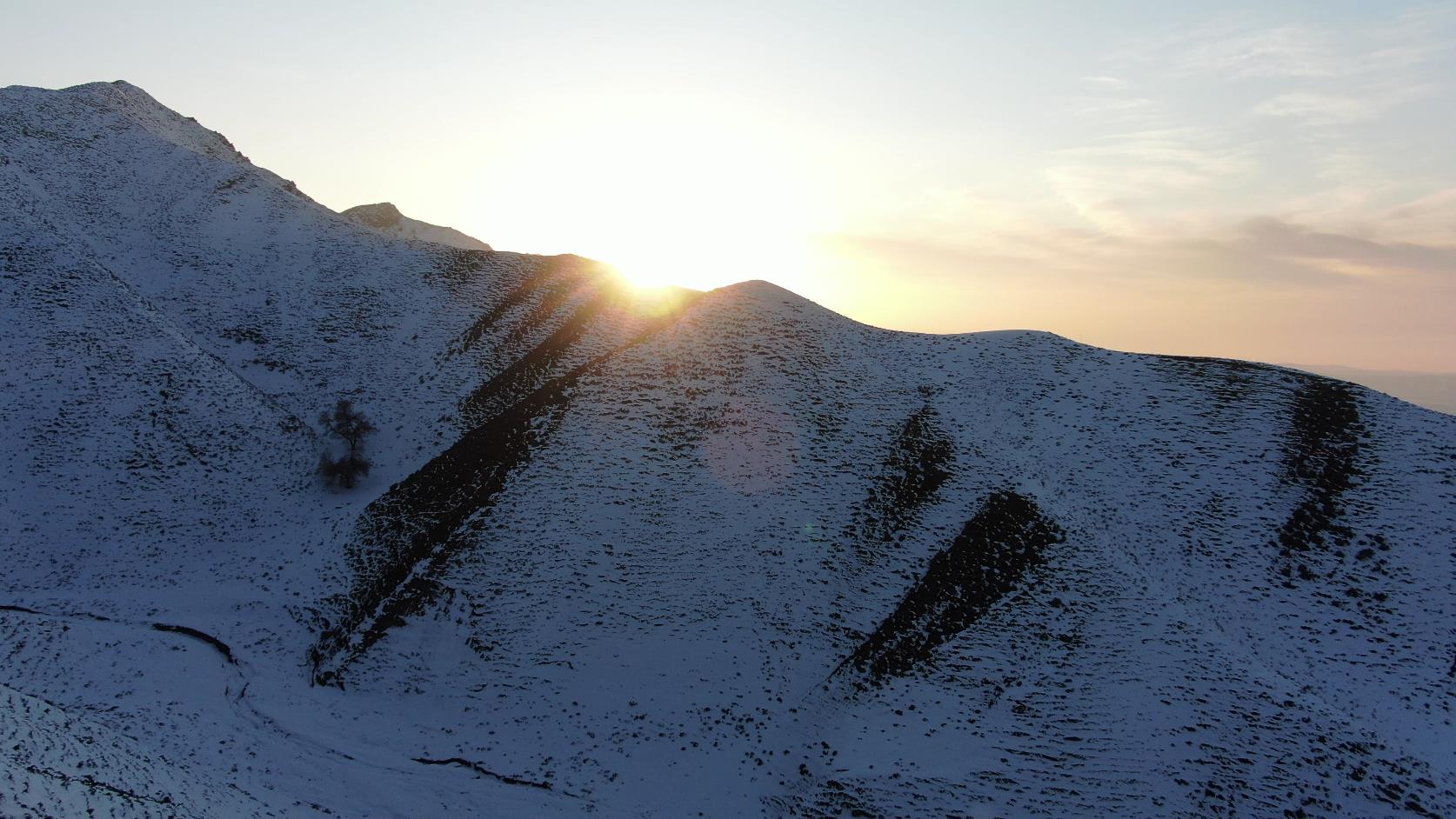

D3: Datong Town → 【Tasha Ancient Road – Yarkant River Basin】 → Yarkand
D4: Yarkant → [Yarkant Amanisha Khan Mausoleum – Dawkun Desert] → Kashgar
[Scenic Spot Highlights]:
★China-Pakistan Friendship Highway (Karakoram Highway): A component of the Asian Highway Network and a vital transportation route connecting China to Pakistan and the South Asian subcontinent;
★Pamir Plateau: The westernmost part of China, where丹霞 landforms, snow-capped mountains, Gobi, wetlands, grasslands, lakes, and flowers blend together, creating a magnificent atmosphere;
★Tashan Ancient Road: The route taken by Xuanzang on his return from India to fetch Buddhist scriptures, a secret land of Southern Xinjiang, deep into the hinterland of the Kunlun Mountains and the Pamir Plateau, integrating scenery and culture;
★The Winding Dragon Road: An all-mountain road with over 600 S-curves, like a huge dragon winding around the Pamir Plateau at about 4,100 meters above sea level;
★Kashgar: The essence of Southern Xinjiang, the political, economic, cultural, and transportation center, a major distribution hub for agricultural and pastoral products, and an important commercial town on the ancient Silk Road;
★Taxkorgan County: Known as the "Pearl of the Plateau", it borders on three countries;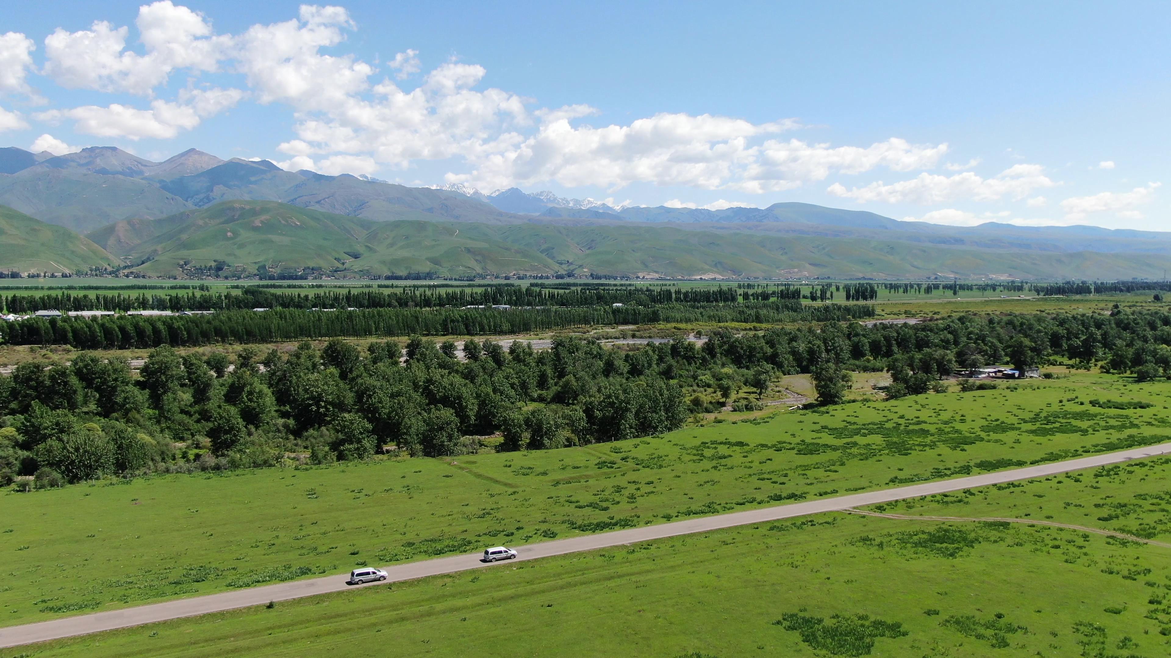
[Itinerary Highlights]:
★This itinerary crosses the Karakoram Highway and goes deep into the Pamir Plateau, integrating scenery, culture, and ethnic customs! It covers all the scenery of the Pamir Plateau: the Internet-famous highway – the盘龙古道 (Winding Dragon Road), the Tashan Ancient Road, Baisha Lake, Karakul Lake, Mushtagh Peak, Kongur Peak, Kongur Tobe Peak, etc., as well as culture, dwellings, wetlands, Gobi, plateaus, snow-capped mountains, lakes, and border crossings… allowing you to see it all at once!
[Applying for a Border Defense Permit]:
The Pamir Plateau and other border areas require a border defense permit to be obtained in advance; tourists with Xinjiang residency (including those with ID numbers starting with 65) must go to the local police station where their residence is registered to apply for a border defense permit, while tourists from outside Xinjiang can apply in Kashgar!
What does Southern Xinjiang have?
Kashgar, the Pearl of the Silk Road, the Pamir Plateau, the roof of the world, the Taklamakan Desert, the Sea of Death… as well as the famous Korla pears, Aksu apples, and Hetian jade…
Compared to Southern Xinjiang, the scenery tends to be magnificent, dominated by deserts and Gobi, perfectly embodying the scene of "a lonely column of smoke rising against the vast desert". "Populus euphratica", "Loulan", "Lop Nur", and "the Thirty-Six Kingdoms of the Western Regions" are all labels of Southern Xinjiang, and coupled with the ruins of the ancient Silk Road, the cultural atmosphere envelops Southern Xinjiang.
Among the population living in Southern Xinjiang, Uyghurs are the majority, accounting for more than 80%, which gives Southern Xinjiang a strong exotic flavor.
As the saying goes, "Northern Xinjiang for scenery, Southern Xinjiang for customs". If you like beautiful scenery, Northern Xinjiang is recommended. Then you must visit the grasslands of Yili, such as the Nalati Grassland, which is a grassland in the sky, and the Kalajun Grassland, which is a three-dimensional grassland, and so on. If you like historical sites, you must visit Southern Xinjiang. Experience the "setting sun over the long river" in the desert, and feel the gentle sound of camel bells on the Silk Road… Of course, if you like food, you can choose either Northern or Southern Xinjiang, as the delicious food of Xinjiang will never leave you hungry.
"Each to his own taste", some people like the colorful and magnificent scenery of Northern Xinjiang, while others prefer the vast desert and endless horizon of Southern Xinjiang.