

2021 Guide to Koktokay Scenic Area in Xinjiang, Koktokay Scenic Area Tickets_Address
Xinjiang Tourism Consultation: 1813962-2229 (Same Number) 0991-8585456
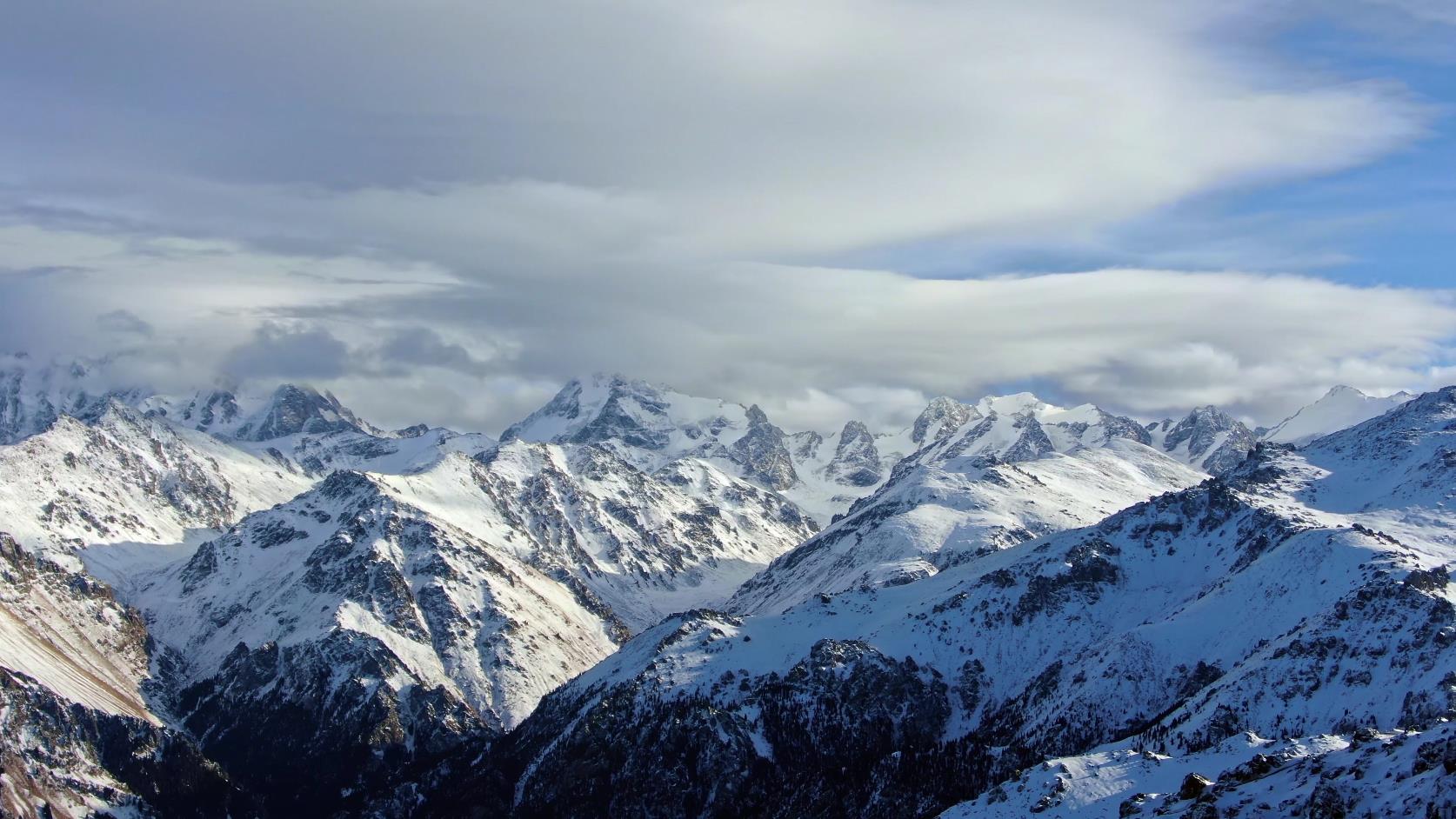
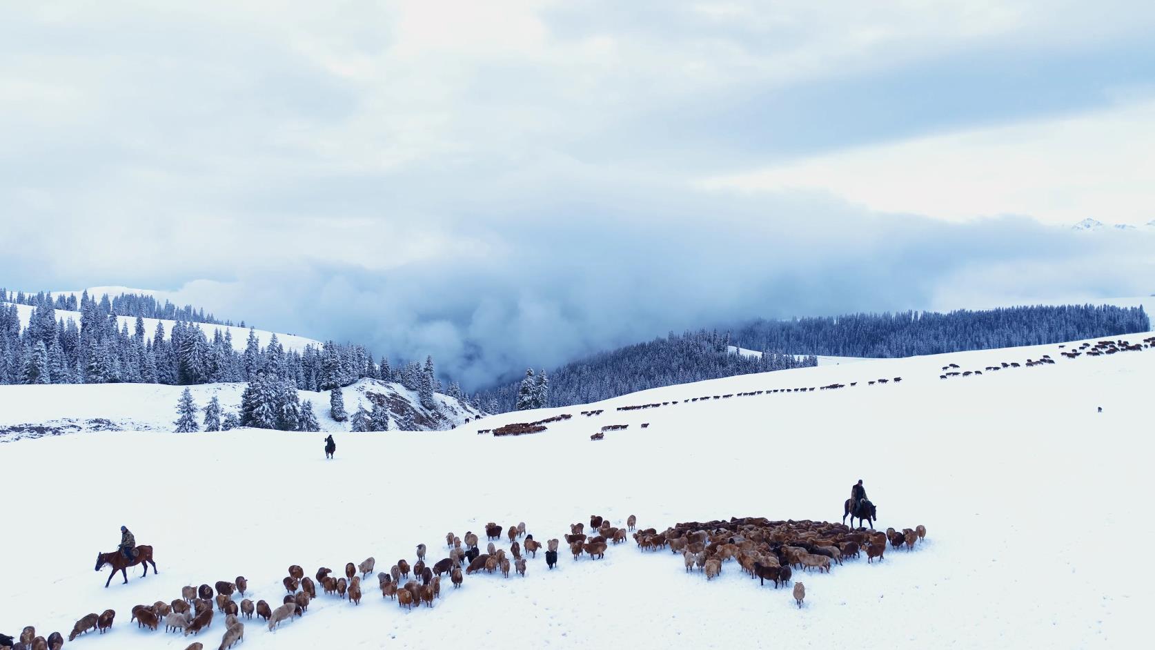
The Kanas Scenic Area is located within the territory of Burqin County and Habahe County in the Altay Prefecture of Xinjiang Uyghur Autonomous Region. It borders the Republic of Kazakhstan and the Russian Federation to the north and the People’s Republic of Mongolia to the east. Its geographical coordinates are between 87°00′ and 87°10′ east longitude and 48°43′ and 48°54′ north latitude. The planned area is 10,030 square kilometers, mainly including seven famous natural landscape areas and three human landscape areas at home and abroad such as Kanas National Nature Reserve, Kanas National Geological Park, Baihaba National Forest Park, Jiadengyu National Forest Park, Burqin Valley, Hemu Valley, Hemu Grassland and Hemu Village, Baihaba Village, and Kanas Village—three primitive Tuwa villages. Among them, Kanas Lake is known as "the most beautiful lake in the world".
The Kanas tourist area integrates various natural landscapes such as glaciers, snowfields, mountains, rivers, lakes, forests, and grasslands. There are a total of 55 classic attractions, including 11 high-grade attractions. There are 319 lakes of various sizes within the scenic area. There are 798 species of plants and 99 species of fungi, 39 species of mammals, 4 species of amphibians and reptiles, 117 species of birds, and 7 species of fish. It has been called by many famous experts at home and abroad as the only cold temperate plant gene pool in the world today. As a United Nations official said during an inspection in Kanas, "This is the last undeveloped land on earth. Its value lies in proving that humans once had such a wonderfully beautiful habitat."
Kanas, in Mongolian, means "lake in the valley". It has an arc length of 24 kilometers, a width of 1-2.2 kilometers, and an average width of about 1.9 kilometers. Its area is approximately 45.78 square kilometers, with a depth of 188.5 meters and an average depth of about 90 meters. It is the second largest deep-water lake and the deepest glacial lake in China, after Changbaishan Tianchi. The lake has a volume of 5.3781 billion cubic meters, exceeding Taihu Lake, Hongze Lake, and Chaohu Lake among the five major freshwater lakes in China.
Koktokay
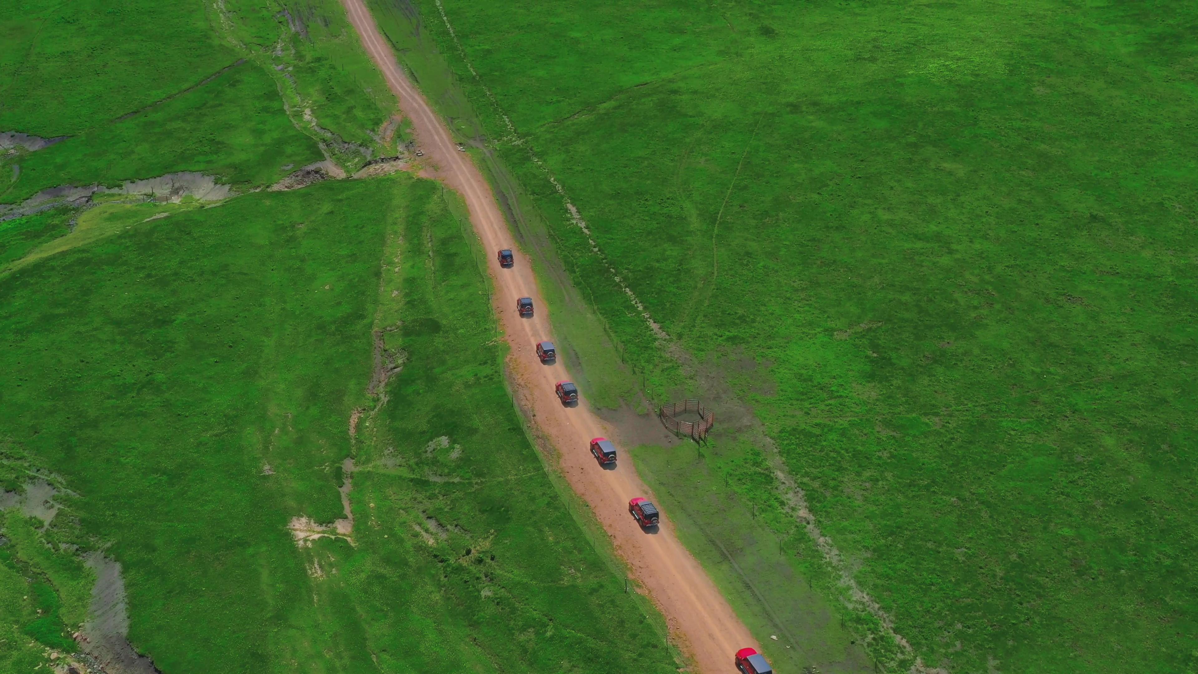
The natural scenery of Koktokay is particularly fascinating, even the parking lot is unique. Looking back from a distance, vehicles and tourists who have just entered the scenic area are hidden among the verdant greenery, faintly visible. They have become elements of this beautiful picture.
There is an Irtysh River in the world, and there is an Irtysh Grand Canyon in China. The Irtysh River is an important attraction in the Koktokay scenic area. It originates from the Altai Mountains and flows from southeast to northwest. It is the only river in China that flows into the Arctic Ocean. Although it is only 546 kilometers long within China, its drainage area is 57,000 square kilometers, with an annual runoff of 11.1 billion cubic meters. Its water volume ranks second in Xinjiang, after the Yili River.
Koktokay Town is a mining town. [1] It is located in the Altai Mountains, 48 kilometers northeast of Fuyun County in northern Xinjiang Uyghur Autonomous Region. The Irtysh River flows right through the town, hence the origin of its name. In Kazakh, Koktokay means "green jungle". In Mongolian, it means "blue river bend". It was once world-famous for its abundant mineral resources. It is the second coldest place in China. The hydropower department measured a temperature of minus 60 degrees Celsius here, but it was not recognized. During this period, the Mohe meteorological station in Heilongjiang also measured a low temperature of minus 60 degrees Celsius. Therefore, Mohe was designated as China’s first cold region, and Fuyun had to settle for second place.
Xinjiang Tourism Consultation: 1813962-2229 (Same Number) 0991-8585456