
Korla Chartered Tour Inquiry Phone Number: 0991-8585456 (Same)
Korla City, located in central Xinjiang, at the southern foot of the Tianshan Mountains and on the northeastern edge of the Tarim Basin, is the capital of Xinjiang Bayingolin Mongolian Autonomous Prefecture. It leans against the branch of the Tianshan Mountains in the north and borders the world’s second-largest desert, the Taklamakan Desert, in the south. It is the throat of the middle route of the ancient Silk Road and one of the birthplaces of Western Region culture.
Korla
The unique geographical location of Korla City has nurtured unique tourism resources, and it was selected as one of the first batch of China’s Excellent Tourism Cities in 1998. Historically, Korla was the throat of the middle route of the Silk Road. There are 14 national first-grade cultural relics protection sites, 40 second-grade cultural relics protection sites, and 240 cultural relics and historic sites included in the national cultural relics archives surrounding the city. It attracts countless tourists and scientific workers from home and abroad. There are also many unique natural landscapes around Korla City, such as Bosten Lake, Bayanbulak Grassland, Swan Lake, Gongnaisi Forest Sea, Tarim River, Tianshan Stone Forest, Yadan wonders, and the world’s longest desert highway. In addition, Muztagh Ata with an altitude of 6973 meters is also a great destination for people to travel and explore. In terms of ethnic customs, there are mainly the "Nadam" of the Mongolian people and the "Maxilap" of the Uyghur people, among other folk cultural arts.
Scenic spots
Tiemen Pass
The Great Pass Under Heaven – Tiemen Pass
It is located in the rugged Kuruktag Mountains, eight kilometers north of Korla City. More than two thousand years ago, the Silk Road entered a 30-kilometer-long canyon here along the Peacock River. The canyon is tortuous and deep, with cliffs like those chopped by knives and axes. According to research, a pass has been established here since the Jin Dynasty. It is named Tiemen Pass because of its strategic location. It is a natural barrier for entering the Tarim Basin from the Yanqi Basin and has been a military stronghold since ancient times. Today’s Tiemen Canyon has built a large reservoir on the dam, and a section of the once extremely dangerous ancient Silk Road has been submerged in tens of thousands of hectares of blue water. Where the canyon is surrounded by mountains and water, the forests are lush, flowers are compete in beauty, and pavilions and towers are scattered and well-arranged among them. [19]
Peacock River
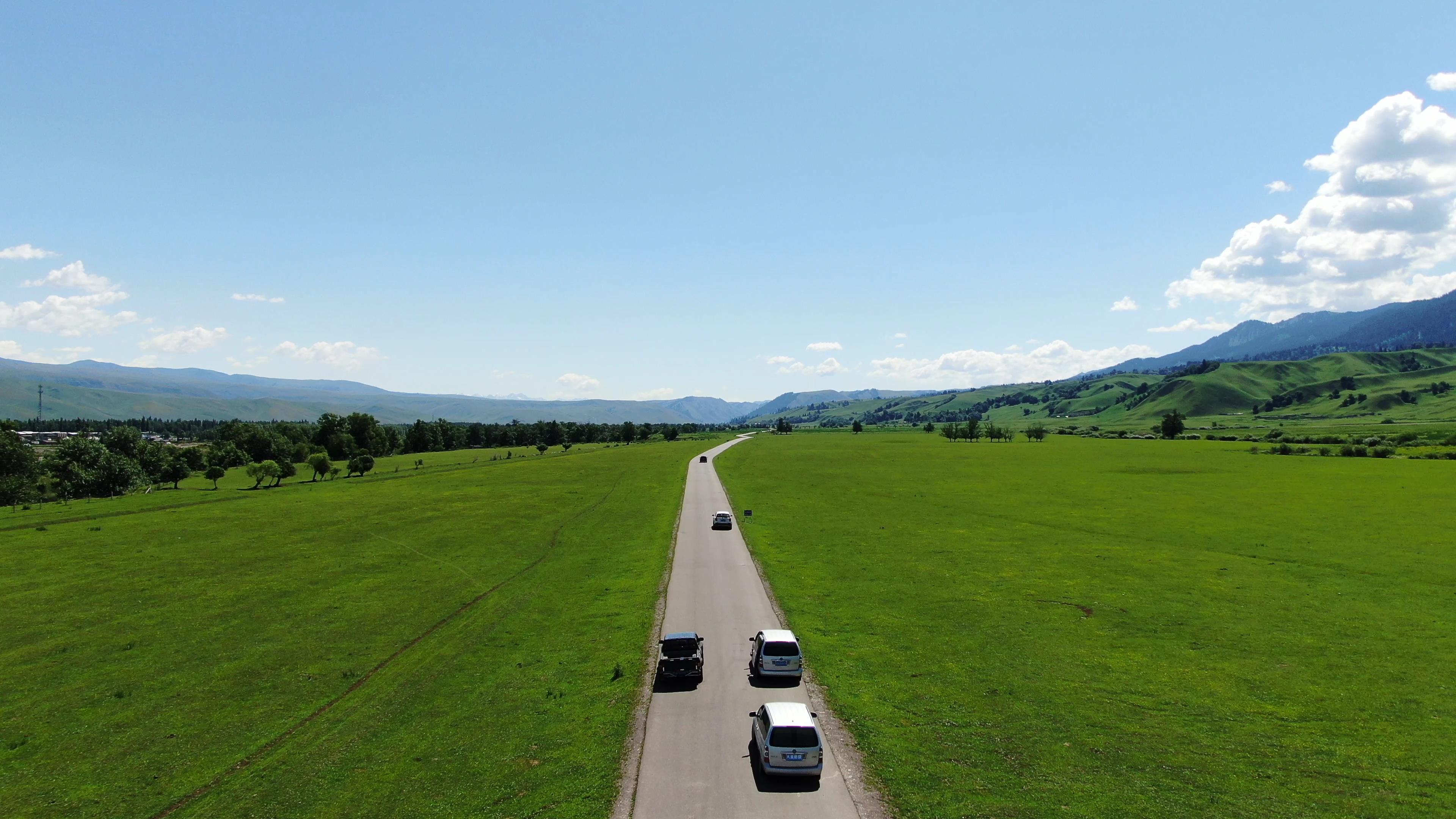
The Peacock River originates from Bosten Lake and flows through Korla City via the Tiemen Pass Canyon, serving as the lifeblood of Korla’s industry, agriculture, and economy. The Peacock River is 785 kilometers long, with water flowing continuously throughout the year, an annual runoff of 1.2 billion cubic meters, and stable flow throughout the year. The Peacock River scenic tourism belt starts from the Peacock River Bridge on National Highway 314 and ends at Taiyang Island in Yingxia Town, with a total length of about 10 kilometers. It is planned to have four parks (Botanical Garden, Peacock Park, Youth Park, Ethnic Customs Park); five bridges (Lion Bridge, Lixiang Bridge, Construction Bridge, Sunflower Bridge, Jianguo Bridge); and six scenic spots (Fishing Garden, Lixiang Garden, Observation Deck, Hundred Flowers Garden, Peacock Square, Unity Garden). [19]
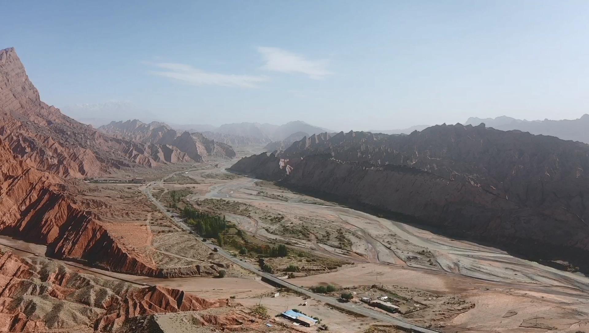
The Grand Canyon
The Grand Canyon in the pastoral area of Korla Horticultural Farm
The Grand Canyon in the pastoral area of Korla Horticultural Farm is about 40 kilometers away from the farm and about 100 kilometers from the urban area of Korla. The Grand Canyon is nearly 3,000 meters above sea level, with mountain walls nearly 1,000 meters high on both sides. The widest part of the valley is about 50 to 60 meters, and the narrowest part is about 30 meters. Clear spring water flows at the bottom of the valley, and dense primitive shrub forests grow on both bankss. In the nearly 3-kilometer-long canyon zone, there are six waterfalls distributed, the highest being nearly 400 meters and the lowest about 30 meters. The rock formations and colors on both arms of the canyon are very unique and fascinating. To the west of the canyon is a highland meadow with vast pine forests and various wild animals, plants, as well as unique natural landscapes such as "a narrow slit of sky", etc. The highest temperature in the canyon in summer is nearly 30 degrees Celsius, and the lowest is nearly 10 degrees Celsius. It is a scenic spot for summer vacation, leisure, sightseeing, and tourism. [19]
Poplar Forest Resort
The resort is located 53 kilometers southwest of Kuerle City, at the 50-kilometer downstream dam reservoir of the Peacock River. It covers a land area of about 30 square kilometers and a lake area of 40 square kilometers, with 17,000 mu of natural poplar forests. The sky and water blend seamlessly into one. It is planned to include leisure and entertainment areas, water amusement areas, folk customs and zoo botanical gardens, hunting areas, and scenic spot service facilities. Construction has been completed for transportation roads, water supply and drainage projects, power supply and communication projects, sanitation facilities, landscaping, and scenic spot management facilities. [19]
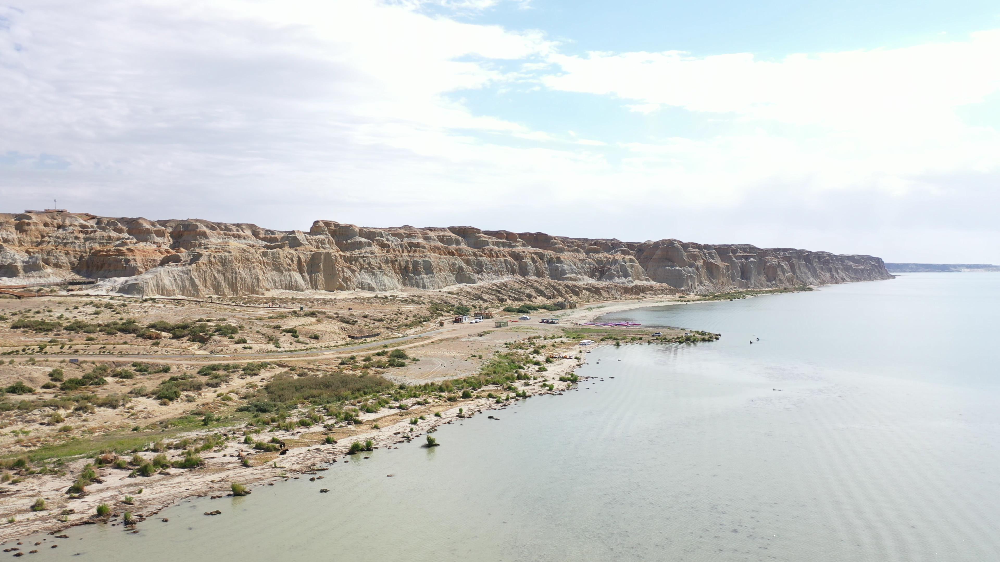
Lop People Village
Located in the south of Yuli County, beside the Tarim River, and 86 kilometers away from Kuerle City, it is the last living place of the Lop people, with the only remaining Lop community that still retains the primitive lifestyle of this ancient nation.
Bayinbrook Grassland
Bayinbrook Grassland
Bayinbrook Grassland is located in the northwest of Hejing County, at the southern foot of the Tianshan Mountains. With an area of about 23,000 square kilometers and 636 kilometers away from Kuerle City, the grassland is covered with lush green grass, dotted with herds of cattle and sheep, surrounded by mountains, and crisscrossed by rivers. It has a vast and undulating terrain and a wide variety of plants, making it the second-largest grassland in China.
Bayinbrook Grassland means "rich spring" in Mongolian. As early as 2600 years ago, there were Gushi people active here. In the 36th year of Emperor Qianlong’s reign in the Qing Dynasty, Mongolian tribes such as the Torghut and Khoshut, led by Wobaxi, revolted and returned east from the Volga River basin in Russia and settled in Bayinbrook Grassland and the Kaidu River in 1773.
This place is abundant with Yanqi Tianshan horses, Bayinbrook big-tailed sheep, Chinese Merino sheep, and yak known as the "tank of the plateau", collectively known as the "Four Treasures of the Grasslands". Every midsummer, the annual grassland Nadamu grand gathering, with horse racing, archery, and other competitions, makes tourists reluctant to leave.
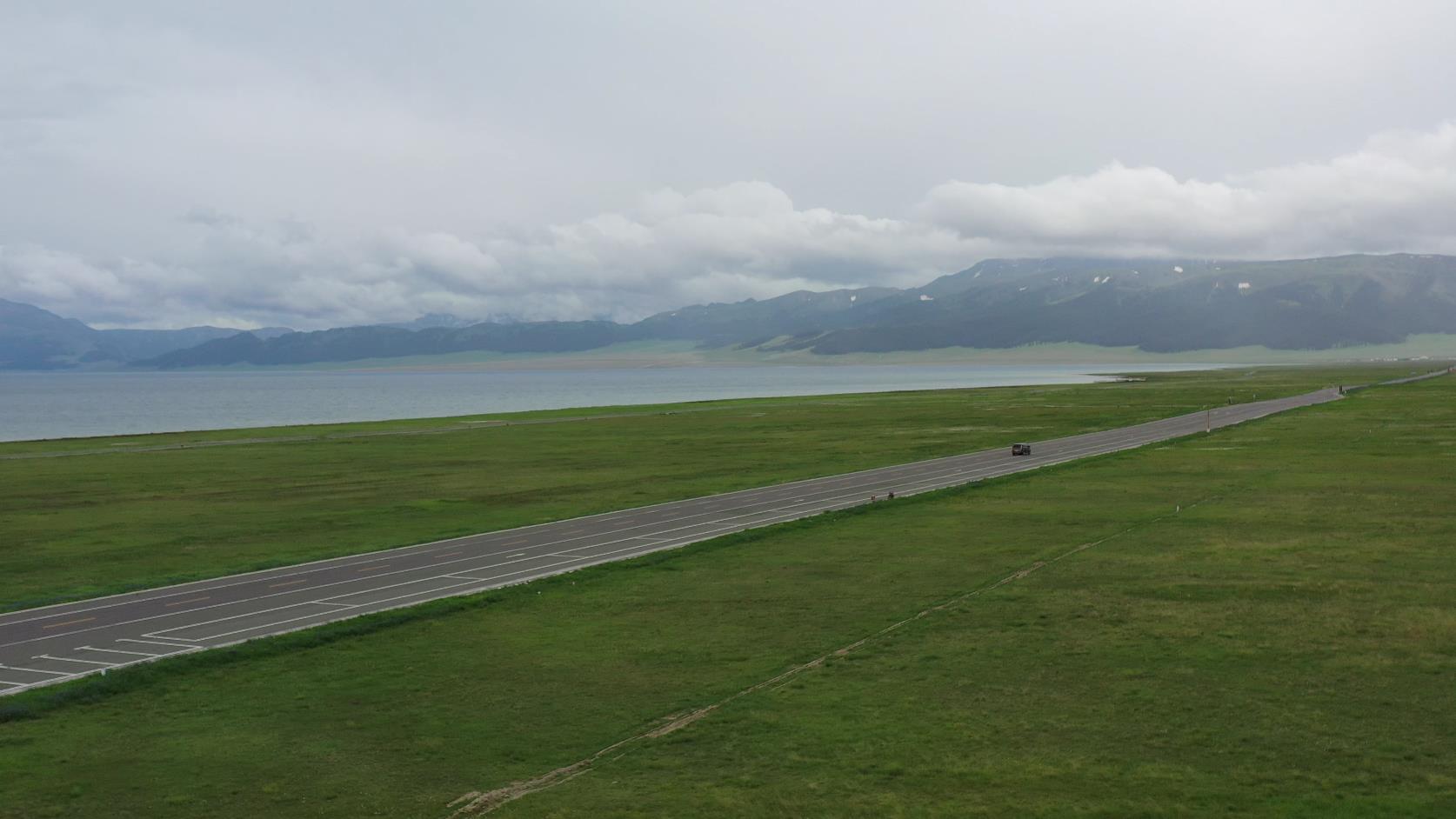
Bosten Lake
Anciently known as "West Sea", in Tang Dynasty it was called "Fish Sea", and in the mid-Qing Dynasty, it was named Bosten Lake. It is located in Bohu County on the southeast side of the Yanqi Basin and is China’s largest inland freshwater lake. "Bostengnuor" in Mongolian means "standing", named after the three mountain islands standing in the lake.
Bosten Lake is 14 kilometers away from Bohu County and 24 kilometers from Yanqi County. The lake surface is at an altitude of 1048 meters. It is 55 kilometers long from east to west and 25 kilometers wide from north to south, slightly triangular in shape, with a large lake area of 988 square kilometers. In the southwest part of the large lake, there are dozens of small lake areas of varying sizes, among which the larger ones cover a total area of 240 square kilometers. The lake is deeper in the west and shallower in the east, with the deepest point being 16 meters and the shallowest 0.8-2 meters, averaging about 10 meters in depth. The 1,228-square-kilometer Bosten Lake, complemented by snow-capped mountains, lake scenery, oases, deserts, exotic birds, and wild animals, forms a colorful picture scroll. The large lake area is vast and misty; the small lake areas are adorned with reeds and lotus flowers, with winding paths and deep recesses, earning them the reputation of a "hidden paradise". [19]
Jinshatan
It was anciently known as Yanchang, later renamed Jinshatan. It became famous overnight after hosting a beach volleyball competition in 2000. It is located in Heshuo County.
Kuerle chartered tourist bus consultation phone number: 0991-8585456 1813962-2229 (same as WeChat)