Xinjiang Chartered Tourism Vehicles: 0991-8585456 1813962-2229 (WeChat ID same as phone)

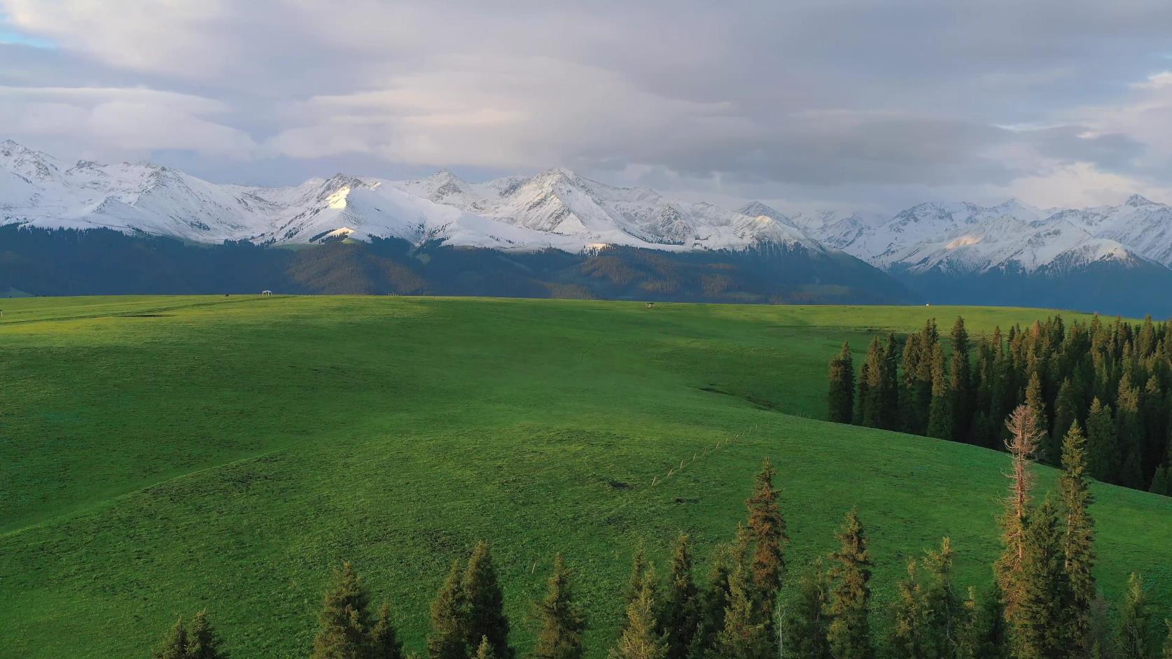
Koktokay means "green jungle" in Chinese. In Mongolian, it means "blue river bend". Koktokay National 5A Tourist Attraction and Koktokay National Geopark are located in Fuyun County, Altay, Xinjiang. Mainly composed of the Karaxianger Earthquake Fault Zone, Kokesu Lake, Yiremu Lake, and Irtysh Grand Canyon, it integrates scenery of canyons and river sources, marsh wetland landscapes, cold lakes, geological and mineral resources, and is an international pristine tourist attraction featuring sightseeing tourism, leisure vacations, special tourism (hiking, photography), and scientific research. The total area of Koktokay National Geopark is 788 square kilometers. It consists of the "World Earthquake Museum" – Karaxianger Earthquake Fault Zone, Kokesu Lake, which is praised as the "Southern Regions of the North", Yiremu Lake, known as "China’s Second Cold Pole", and the famous Irtysh Grand Canyon. Due to special geological structures, wind and rain erosion, and stream cutting, Koktokay has formed many deep gullies and canyons, becoming a rich natural landscape combination area integrating mountain scenery, water scenery, grasslands, peculiar pictographic rock formations, gold panning, hot springs, etc. Koktokay means "blue river bend" in Mongolian and "green jungle" in Kazakh. The "Koktokay" National Geopark was approved for establishment in 2005. It is located in Koktokay Town, Fuyun County, northern Xinjiang. The total area of the Koktokay Scenic Area is 788 square kilometers. It consists of the "World Earthquake Museum" – Karaxianger Earthquake Fault Zone, the Kokesu Scenic Area, praised as the "Southern Regions of the North", Yiremu Lake, known as "China’s Second Cold Pole", and the famous Irtysh Grand Canyon. Due to special geological structures, wind and rain erosion, and stream cutting, Koktokay has formed many deep gullies and canyons, becoming a rich natural landscape combination area integrating mountain scenery, water scenery, grasslands, peculiar pictographic rock formations, gold panning, hot springs, etc. Koktokay is China’s first national geopark with typical ore deposits and mine sites as its main landscape. Coupled with the unique granite landform landscape of the Altai Mountains and the remains of the Fuyun earthquake, it possesses rich and diverse scientific connotations and aesthetic significance. These geological heritages have rare and precious value in the world, constituting a dazzling landscape on the mysterious tourist route around Junggar in Xinjiang.
Twenty-three kilometers into the scenic area lies Kekusu Li, also known as Wild Duck Lake because a large number of wild ducks, as well as red swans and white swans, breed and thrive here. The lake covers an area of 2,677 mu, with an average depth of 2 meters. There are more than 20 floating islands of varying sizes formed by intertwined reeds in the lake, and the aquatic vegetation is abundant. The Blue Bend – Yileimute Lake is located at the confluence of the Irtysh River and its tributary, the Kaiyert River, 7 kilometers southwest of Koktokay Town. It is a reservoir-type lake formed by damming the river. The lake surface area is 18.5 square kilometers, with a lake elevation of 1,120 meters and a water storage capacity of 113 million cubic meters. The maximum depth of the lake is 100 meters. A rare underground hydropower station in China has been built 136 meters underground on the west side of the dam at the lake outlet. This power station, which is 50 years old, is still in operation today.
The No.3 Pit is the largest mine pit in the world, with 84 types of minerals coexisting within it, mainly including lithium, beryllium, tantalum, niobium, rubidium, cesium, cobalt, and many other rare metals. The richness of reserves, scale, variety of minerals, high grade, and distinct composition of this mineral vein are unique in China and rare abroad. In the 1960s, it helped repay one-third of the country’s debt to the Soviet Union. The shape of the No.3 vein is relatively unique. After 50 years of mining, the original soaring gabbro mountain hundreds of meters above the surface has been excavated into a large pit 200 meters deep, 250 meters long, and 200 meters wide. This created a real-life landscape reminiscent of ‘The Foolish Man Who Moves the Mountain’. Spiral mining tracks on the lakeside cliff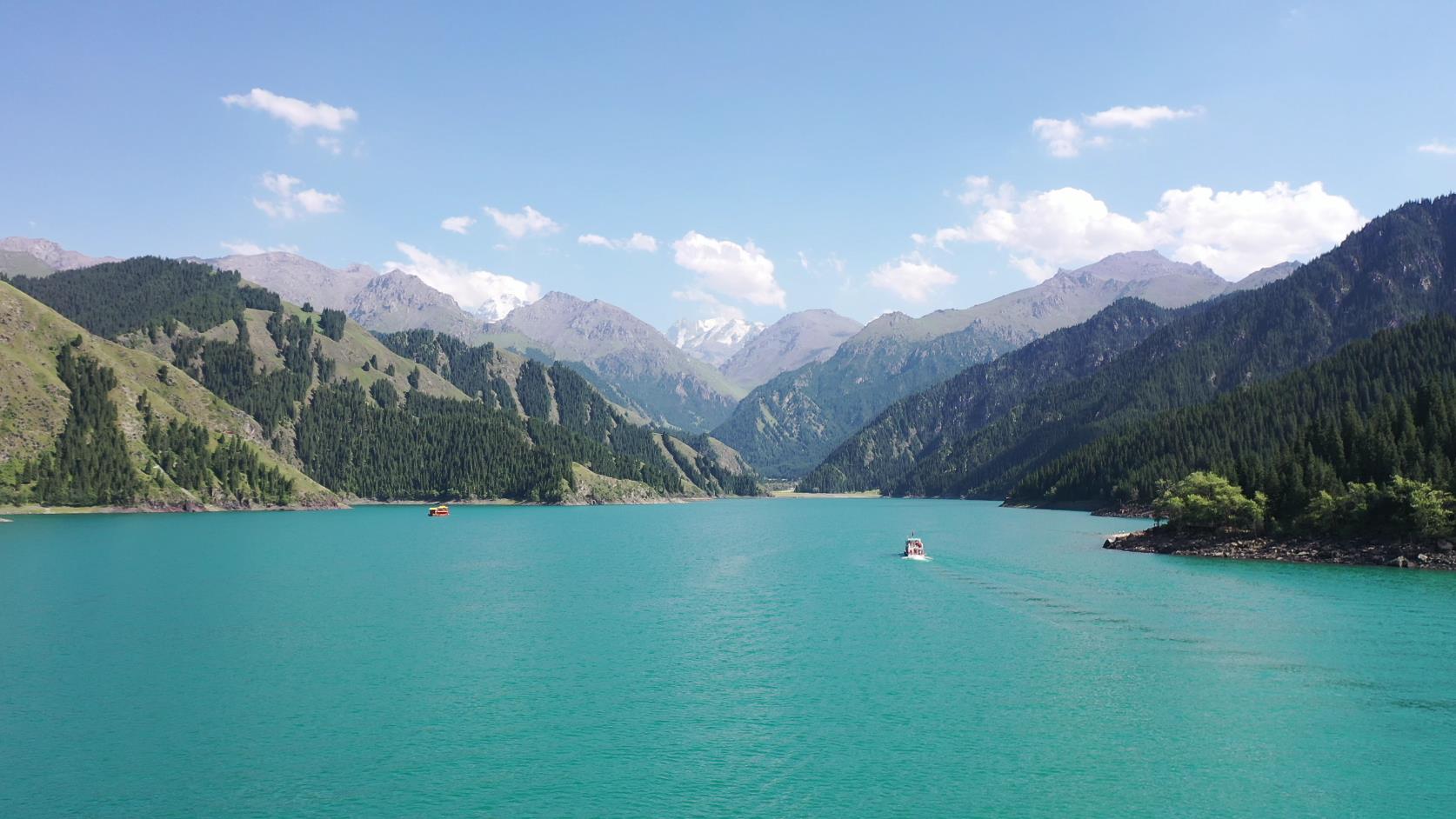
Xinjiang Chartered Tourism Vehicles: 0991-8585456 1813962-2229 (WeChat ID same as phone)