
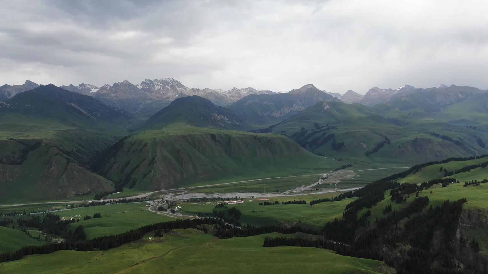
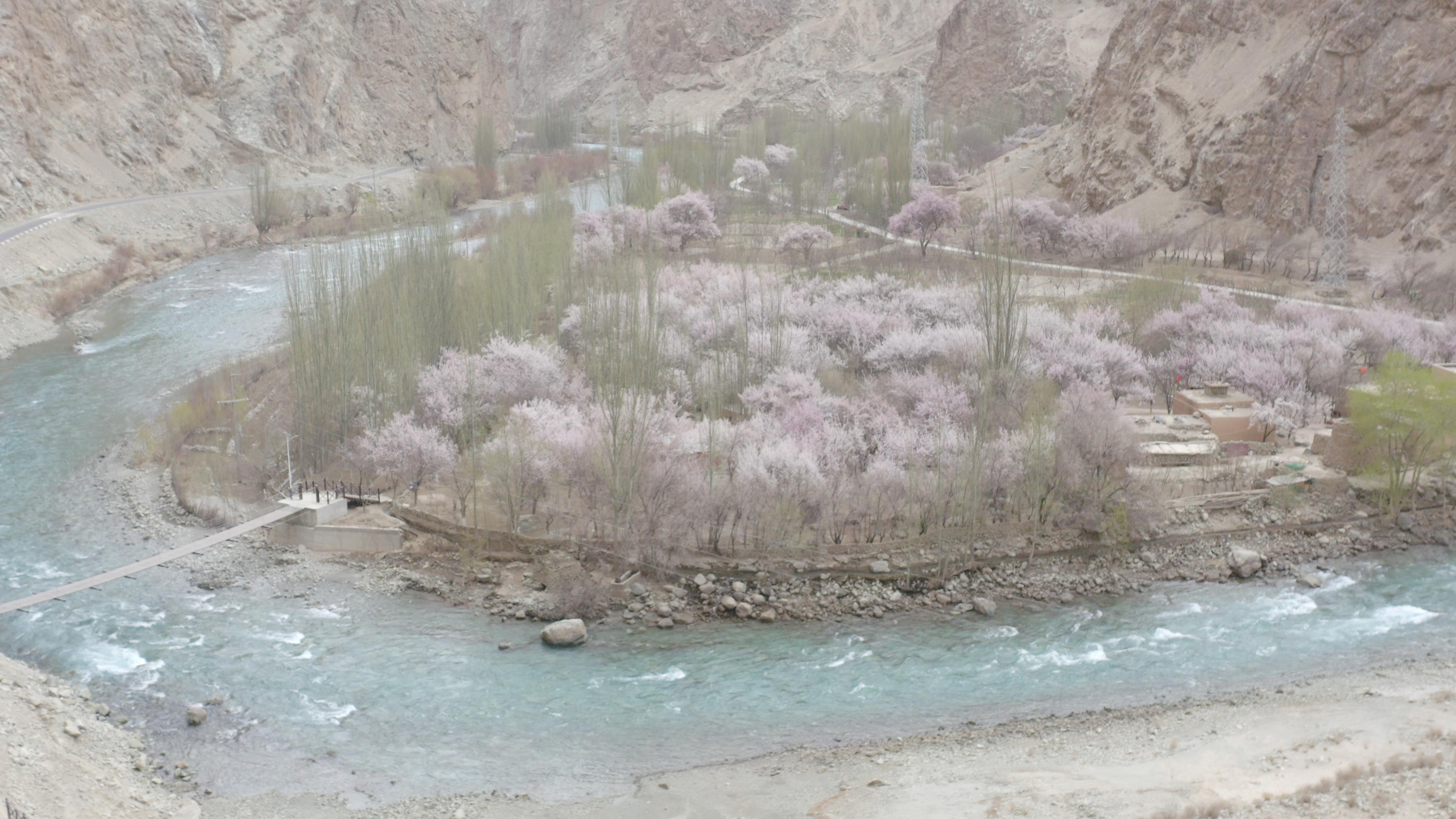
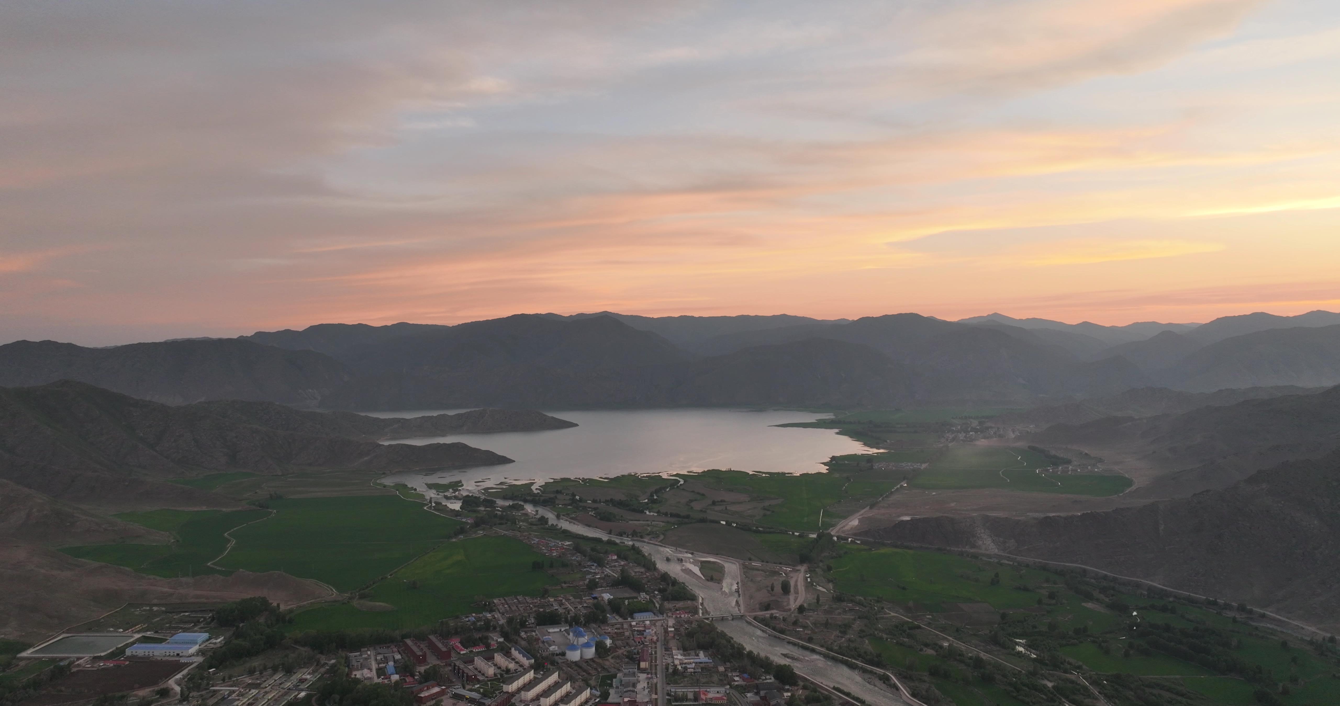
Xinjiang National Day Travel Guide and Route Recommendations Autumn Photography
Xinjiang Tourism Consultation: (Same) 0991-8585456
Which scenic spots are a must-visit in Xinjiang during National Day? Xinjiang travel recommendations for National Day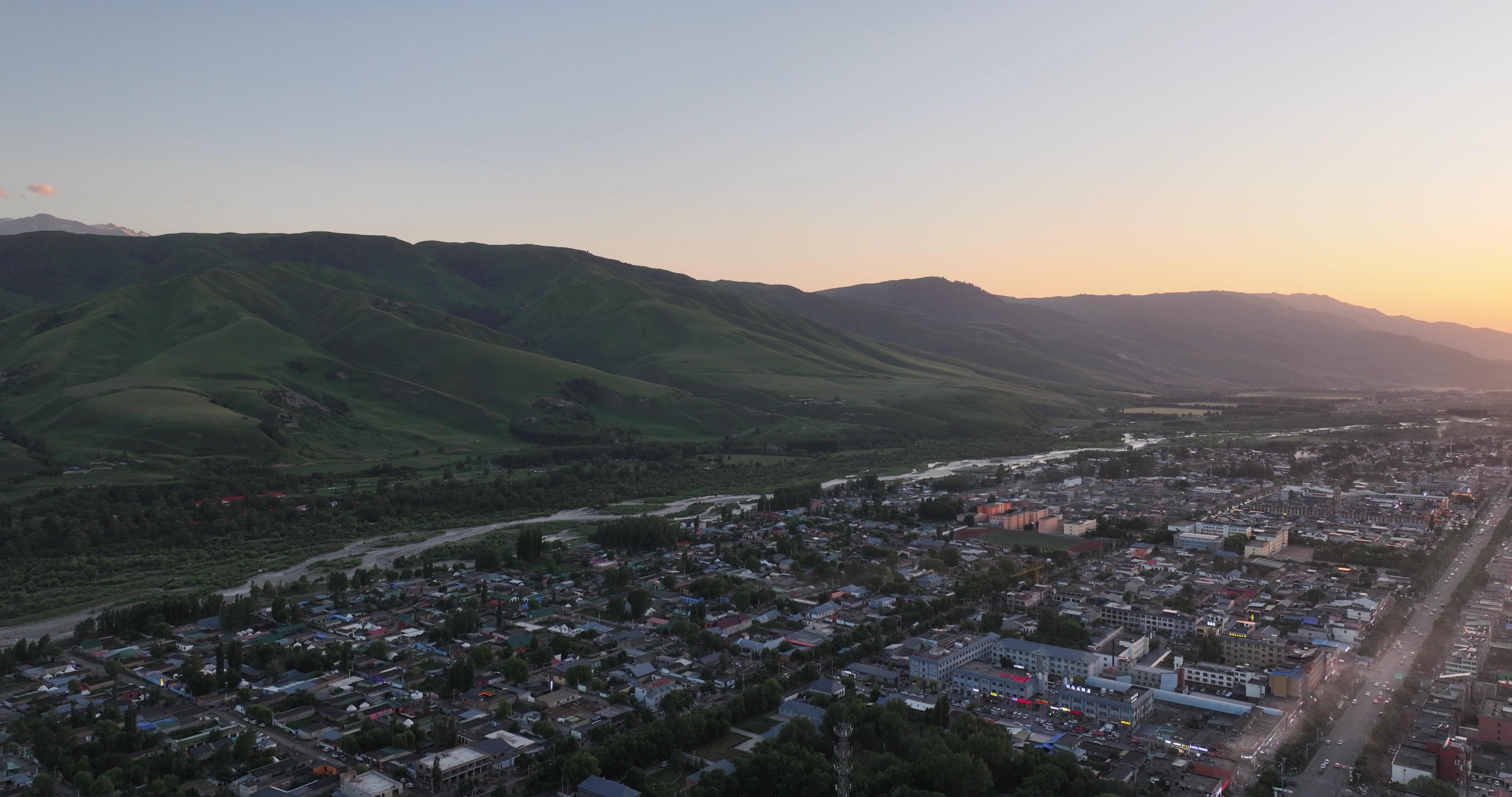

Kumtag Desert:
Located on the eastern edge of the Turpan Basin in Xinjiang, south of Shanshan County, it is 280 kilometers away from the capital Urumqi and 90 kilometers west of Turpan. It is one of the few deserts in the world that touches a city directly. Connected to the southern section of East Huanlu Road in old Shanshan, it is part of the Taklamakan Desert. Standing in old Shanshan and looking south, one can see the magnificent and endless golden desert. For thousands of years, it has coexisted with green fields, staring at each other silently like loyal lovers, evoking endless imagination. For thousands of years, the wind convergence point has always been at the southern end of old Shanshan and has never moved north, so it has not buried the city. During the midsummer, the desert is hot everywhere, as if burning with blazing flames. Upon arrival, visitors will feel intense heat, instantly breaking into a sweat and feeling surrounded by hot air, as if they are in a sauna.
However, on the northern edge of the desert, there is a clear and bright white river flowing gently alongside the sand dunes, winding westward. On both sides of the river, willow and poplar trees stand tall and intricate, resembling coiled dragons. If you stand amidst this verdant greenery, listening to the murmuring water and feeling the cool breeze, you will instantly feel refreshed.
Colorful Beach
Located within the territory of Burqin County, Altay Prefecture in northern Xinjiang, it is situated on the first and second terraces on the north bank of the Irtysh River, the only river in China that flows into the Arctic Ocean. It is 24 kilometers away from Burqin County and is also the only way to get to Kanas Lake Scenic Area. The Colorful Beach stretches along both banks of a river, with distinct landscapes on the north and south sides. The strong river currents and wind erosion have formed cliff-like Yadan landforms on the north bank. The rock layers along the riverbank vary in their resistance to weathering, resulting in uneven outlines. The rocks contain different minerals, creating various colors. The rocks are mainly red, interspersed with green, purple, yellow, white, black, and transitional colors, creating a colorful and charming landscape. The south bank features green fields, deserts, and a blue horizon, offering a panoramic view. The lush green grass, colorful wildflowers, herds of cattle, galloping horses, and camels wandering between green fields and deserts all reflect the pure and simple lifestyle of the Kazakh herdsmen.
Sayram Lake:
Anciently known as "Pure Sea", it is located in the Northern Tianshan Mountains within the territory of Bole City, Bortala Prefecture, Xinjiang, adjacent to Huocheng County, Ili Prefecture. It is a scenic alpine lake.
Koktokay:
Located in the Altai Mountains, 48 kilometers northeast of Fuyun County in northern Xinjiang. The Irtysh River just flows through here. Koktokay, in Kazakh, means "green forest". In Mongolian, it means "blue river bend". It was once famous for its abundant mineral resources and is still the second coldest place in China.
Hemu
Xinjiang Tourism Consultation: (Same) 0991-8585456