
Kanas Tourism, Kanas Travel Guide
Is there anyone like me who, when traveling to Kanas, becomes deeply interested in a place just by hearing its name before even arriving? It feels like a predestined fate, a journey that must be taken once in a lifetime. For me, Kanas is such a travel destination. Therefore, before going, I did my best to learn as much as possible about Kanas tourism. After all, being well-prepared is a must for a competent traveler. Now I am sharing what I know with everyone, hoping it will be helpful.
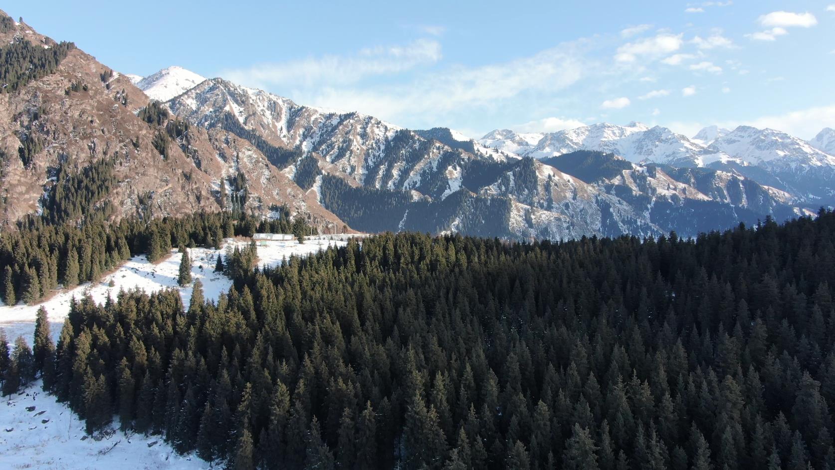
Kanas is located in the Altay region in northern Xinjiang. It is a comprehensive scenic area integrating glaciers, lakes, forests, grasslands, pastures, rivers, ethnic customs, and rare animals and plants. It is known as the "Eastern Switzerland, Photographer’s Paradise". Kanas is a Mongolian word meaning "beautiful and fertile, mysterious and unpredictable". Here, spectacular glaciers contrast with serene lakes, and vast grasslands encompass deep primitive forests. The mysterious lake monster, the quaint Tuwa people, the changing lake water, and the dazzling scenery all captivate visitors. In Kanas, you can mainly visit three places: Kanas Lake, Hemu Village, and Baihaba Village. Kanas Lake is the core attraction, featuring the mysterious Kanas lake monster, Shenxian Bay, Wolong Bay, and Moon Bay. Both Hemu and Baihaba are local villages, reminiscent of Swiss towns, and are fairyland on earth. Many people believe that these two villages are the essence of Kanas. The Kanas Scenic Area is not only rich in natural resources and biological species but also has a unique tourism environment and cultural resources. Kanas combines the magnificent scenery of the northern regions with the delicate beauty of southern waters. Additionally, there are attractions such as "Sea of Clouds and Buddha’s Light", "Color-Changing Lake", "Floating Wood Causeway", and "Lake Monster", making it a beautiful and enchanting scenery in the western regions. To the north of the lake lies the snow-capped Kuitun Mountain and the towering Friendship Peak. The lake is surrounded by layers of mountains, with forests resembling painted screens. Different plant communities are clearly stratified and colorful. Every autumn, the trees compete in brilliance, displaying gold, crimson, and dark green hues. The shrubs in the forest are lush, with moss and wild grasses growing on dead leaves and rotting wood. The meadows in the forest clearings are like mushrooms, and the mountain flowers are bright and colorful. When the wind is calm and the waves are flat, the lake water resembles a pool of jade, changing colors with the weather and showcasing different charms from morning to night. When clouds swirl around, the snow-capped peaks and spring mountains appear and disappear, as if from another world. In July and August, climbing Camel Peak in the southern section of the lake early in the morning after rain allows for a breathtaking view of Buddha’s Light.
Best Viewing Time:
The golden autumn of September is Kanas’ signature. In June, Kanas is full of spring vitality, with endless greenery that makes people reluctant to leave. After a brief summer, Kanas welcomes its golden September, with forests painted in layers of colors. The winter at Kanas, with the lake frozen over, is equally fascinating.
Kanas also offers special winter tourism programs (from October 10th to May 10th of the following year), during which some ticket fees are waived, and there is a "horse-drawn sleigh" experience. A winter photography tourism festival is held every winter.
Kanas is located in the Altay Prefecture in northern Xinjiang. The scenic area has its own airport, allowing for direct flights from Urumqi to Kanas, with a flight duration of about 50 minutes.
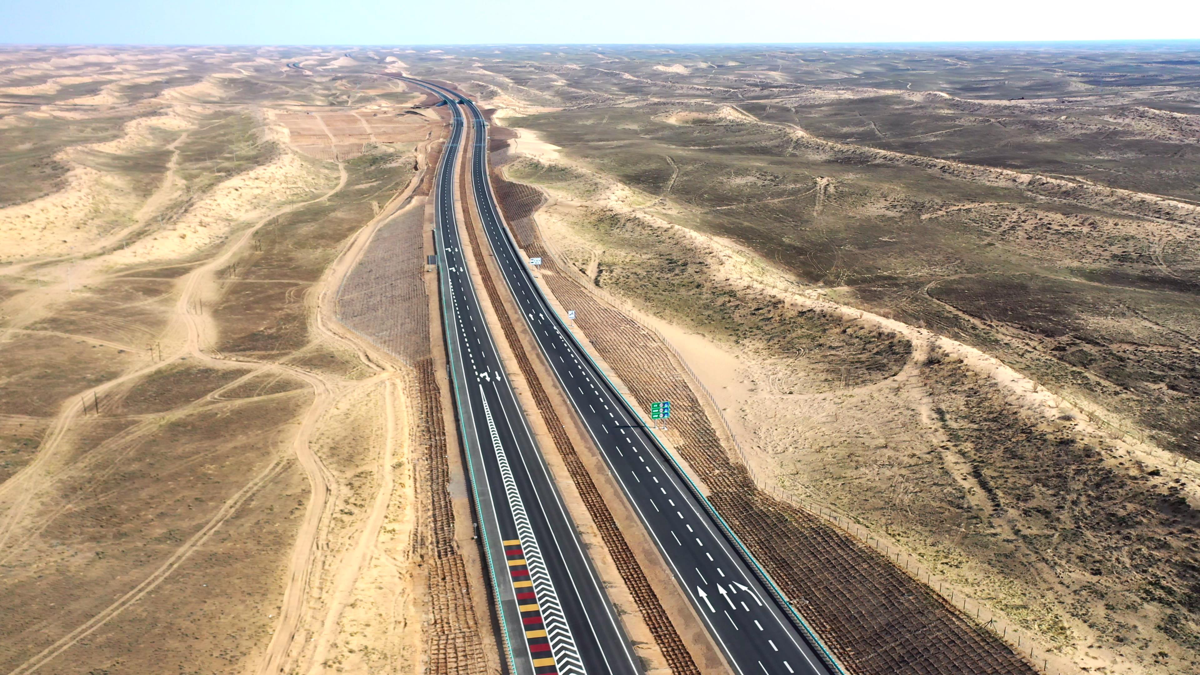

There is no train station in the scenic area. If you choose to travel to Kanas by train, you can only take a train from Urumqi to Beitun and then transfer to a bus to Kanas.
From Urumqi, you can take an overnight bus to Burqin and then transfer to Kanas scenic area.
Chartering a car to Kanas is also convenient, especially for groups of 7-10 people, as it is cost-effective and time-saving.
Transportation options within the scenic area are diverse, mainly including shuttle buses and horseback riding, with horse-drawn sleighs available in winter.
Kanas Lake
Kanas Lake is a mountain lake hidden in the dense forests of the Altay Mountains, forming the main body of the entire Kanas scenic area together with Hemu Village in the east and Baihaba Village in the west. Compared to the human landscapes of the other two villages, Kanas Lake captivates people with its mysterious lake monster, changing lake colors, and dazzling natural scenery. The entire lake is crescent-shaped, with the inner side of the crescent being the east shore. Along the shore, there are six platforms protruding towards the center of the lake. The viewing platform at the third bay is the best spot to watch the sunset over the lake. The Fish Viewing Terrace located at the top of Camel Peak on the west bank of the lake offers the best panoramic view of Kanas Lake. It not only provides a clear view of three-quarters of the lake but also allows visitors to take in the surrounding layered mountains and reflected green peaks.
Baihaba
Baihaba Village is a small Tuva village. Due to its border location, the village has become the "First Village of Northwest China", the guard post beside the village has become the "First Guard Post of Northwest China", and even the shallow Baihaba River has undeniably become the "First River of Northwest China". It is located on the border between China and Kazakhstan, only 1.5 kilometers away from East Sylek in Kazakhstan, connected by a national defense highway.
On the way to Bahaba, you will pass a "Dragon’s Coil Road", winding along a deep gorge, with Kazakhstan’s territory on the opposite side of the gorge. Although the border is very close, Bahaba is peaceful and serene. It is known as one of China’s eight charming towns, featuring primitive forests, log cabins, curling smoke, light morning mist, and hospitable yet mysterious residents. Together, they form a fairy tale kingdom. In the north of the village, there is an old tree stump with a diameter of over 1m. A sign beside it reads: "I forgot my age". Perhaps anyone who comes here will forget the passage of time.
Hemu Grassland
In the fault basin between mountains at the confluence of the Kanas River and Hemu River, there lies Hemu Grassland. The Hemu River divides the grassland into two halves. The shady slopes of the mountains are covered with dense forests, while the sunny slopes are covered with lush green grass and colorful flowers, fragrant and inviting. Bees are busy collecting nectar from flowers, and cattle and sheep are grazing happily all over the mountains, presenting a charming and vast grassland scenery.
Three Bays of Kanas – Fairy Bay
Fairy Bay was formed when the Kanas River was widened due to the blockage by debris flows and collapses downstream. Fairy Bay is the section of the Kanas River within the Kanas Lake scenic area. The river valley here is flat, forming large swamps and meadows along the riverbanks. Looking at the lake surface from the backlit side, it shimmers with tiny fragments of light, as if countless pearls have been scattered at will. Hence, it is also called "Pearl Beach". With clouds often hovering around, the mountain scenery, lake water, and trees complement each other, creating an ethereal atmosphere, hence the name Fairy Bay.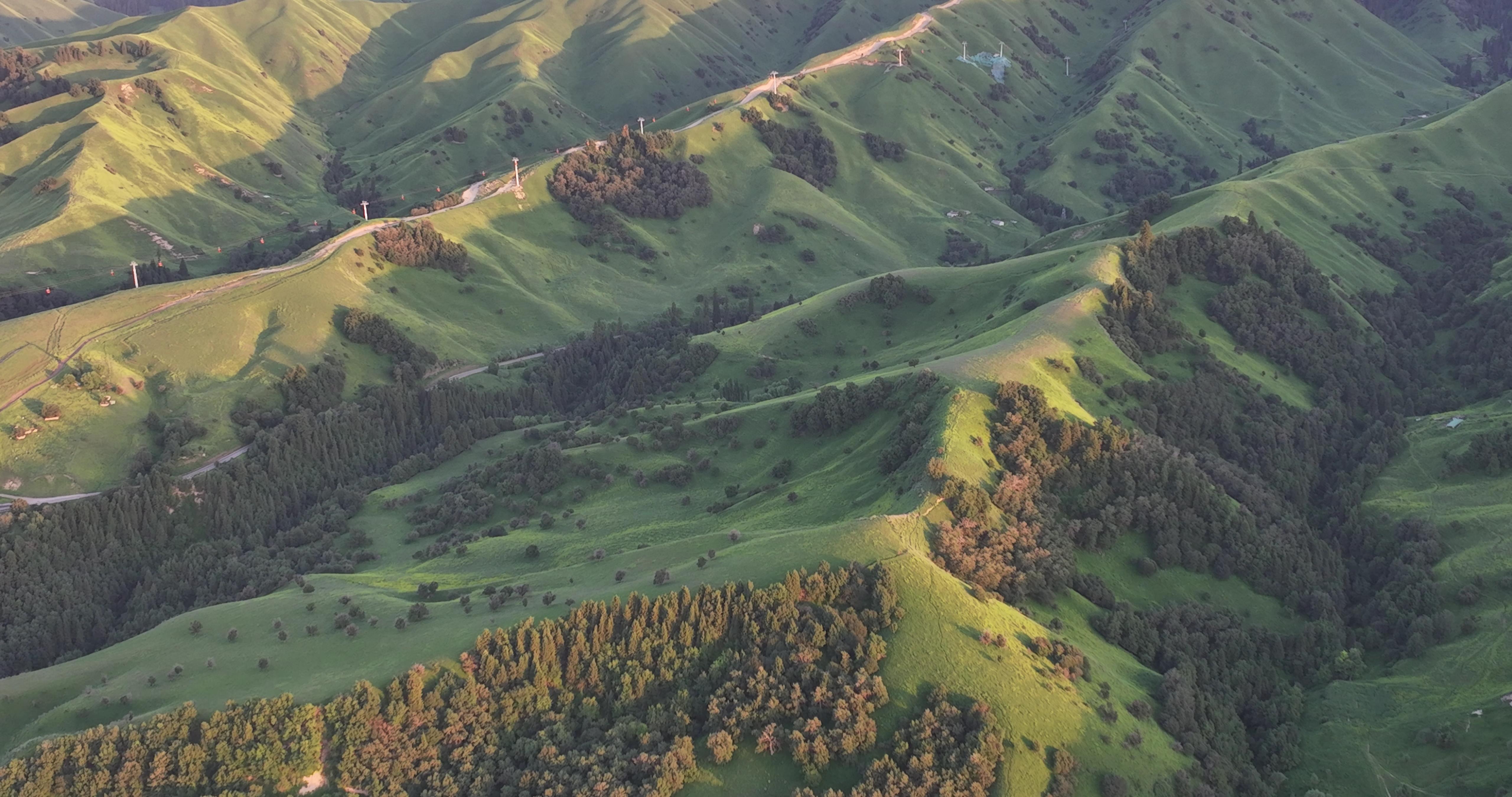
Three Bays of Kanas – Moon Bay
Moon Bay is nestled between two mountains to the east and west, with the river course winding along the mountain contours like a crescent moon. The peaks on both sides of Moon Bay are towering, with dense primitive forests. The platform-like peninsula along the river is covered with lush green grass. Due to differences in the lakebed elevation and lighting, the water of Moon Bay exhibits magnificent and ever-changing colors. It is also a paradise for photographers, with viewing platforms along the wooden栈道 being popular spots for taking photos. Not far from Moon Bay, there is a "Sacred Spring" with a high mineral content. People with sensitive stomachs should be cautious when drinking.
Three Bays of Kanas – Wolong Bay
1km south of Moon Bay is Wolong Bay, named after an island in the water that resembles the shape of a pterosaur. Locals also call it Kazan Lake, or Pot Bottom Lake, because the shape of the lake resembles the bottom of a pot. The lake is surrounded by dense forests, colorful flowers, and lush green grass, with a picturesque island in the middle. There is a wooden bridge at the outlet of the lake. Standing on the bridge, you can see the mirror-like surface of Wolong Bay to the north and the roaring Kanas River to the south.
Opening Hours: All Day
Here, I believe both you and I will marvel at the magnificent workmanship of nature and feel fortunate to witness such a rare beauty in our lifetime. Kanas is such a place that leaves a lasting impression and will not disappoint anyone who visits. I look forward to meeting it as soon as possible, as eagerly as if I had waited for decades. Because I know that Kanas is waiting for my arrival.